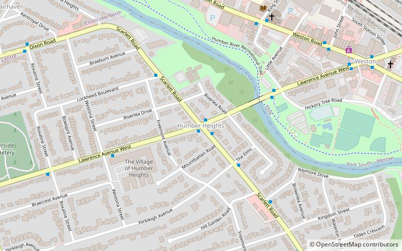
Humber Heights-Westmount, Toronto

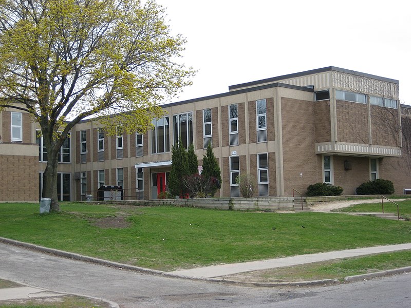
Gallery (3)
Map
Map
Gallery
Facts and practical information
Humber Heights-Westmount, also known as Humbervale, is a neighbourhood in Etobicoke, Toronto, Ontario. The neighbourhood is bounded by the west bank of the Humber River, west to Royal York Road and south to Eglinton Avenue West. The Humber Creek divides the area into the northern 'Humber Heights' and the southern 'Westmount' centred along Scarlett Road and La Rose Avenue. ()
Coordinates: 43°41'53"N, 79°31'24"W
Address
Central Etobicoke (Humber Heights)Toronto
ContactAdd
Social media
Add
Getting there by public transportation
Public transportation stops near this location
- Train
 Train
Train
- Calculate routeWeston 14 min walk
Maps SubwayMaps
 Streetcar systemMaps
 PATH
PATH
SubwayMapsStreetcar systemMapsPATHDay trips
Humber Heights-Westmount – popular in the area (distance from the attraction)
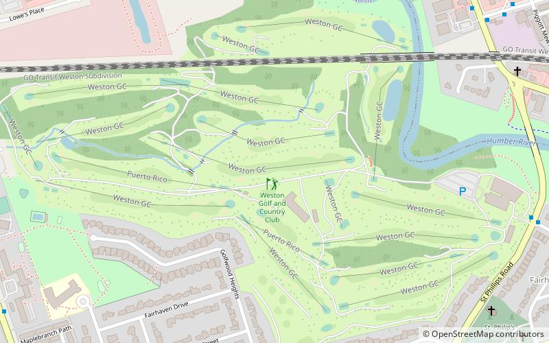
Nearby attractions include: Central United Church, Raymore Park, Mount Dennis, Pine Point Park.


Frequently Asked Questions (FAQ)
Which popular attractions are close to Humber Heights-Westmount?
Nearby attractions include Central United Church, Toronto (8 min walk), Raymore Park, Toronto (13 min walk).
How to get to Humber Heights-Westmount by public transport?
The nearest stations to Humber Heights-Westmount:
Train
Train
- Weston (14 min walk)