Weston Golf and Country Club, Toronto
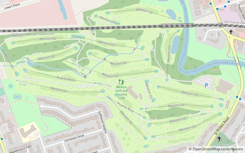
Map
Facts and practical information
Weston Golf and Country Club is located in Toronto, Ontario. Designed by Willie Park, Jr. it was home to Arnold Palmer's first PGA Tour victory in the 1955 Canadian Open. ()
Established: 1909 (117 years ago)Coordinates: 43°42'15"N, 79°32'24"W
Getting there by public transportation
Public transportation stops near this location
- Bus
- Train
 Bus
Bus
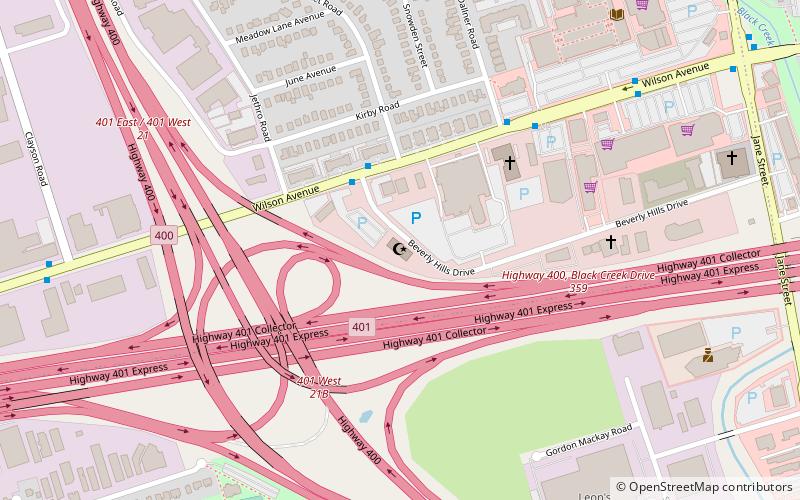
- Calculate routeWilson Avenue 23 min walk
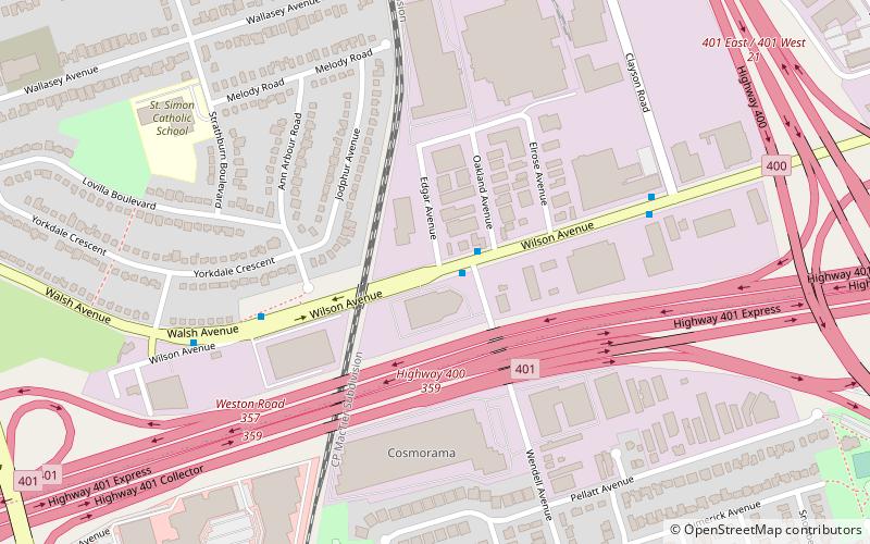
- Calculate routeWeston Road 23 min walk
- Calculate routeEtobicoke North 30 min walk
Maps SubwayMaps
 Streetcar systemMaps
 PATH
PATH
SubwayMapsStreetcar systemMapsPATHDay trips


Frequently Asked Questions (FAQ)
How to get to Weston Golf and Country Club by public transport?
The nearest stations to Weston Golf and Country Club:
Bus
Train
Bus
- Wilson Avenue • Lines: 165, 96B (23 min walk)
- Weston Road • Lines: 165, 96B (23 min walk)
Train
- Etobicoke North (30 min walk)