Thorncrest Village, Toronto
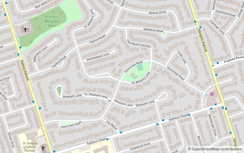
Map
Map

Facts and practical information
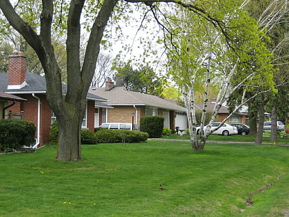
Thorncrest Village is a neighbourhood in northwestern Toronto, Canada. It is a collection of tree-lined streets north of Rathburn Road, between Kipling and Islington avenues, in what used to be part of Etobicoke. ()
Coordinates: 43°39'50"N, 79°32'18"W
Address
Central Etobicoke (Thorncrest Village)Toronto
ContactAdd
Social media
Add
Day trips
Thorncrest Village – popular in the area (distance from the attraction)
Nearby attractions include: James Gardens, Montgomery's Inn, Our Lady of Sorrows Roman Catholic Church, Eatonville Care Centre.
Frequently Asked Questions (FAQ)
How to get to Thorncrest Village by public transport?
The nearest stations to Thorncrest Village:
Bus
Bus
- Kipling Ave at Beaverbrook Ave • Lines: 45A (8 min walk)
- Rathburn Road • Lines: 45A (10 min walk)
 Subway
 Streetcar system
 PATH
PATH


