Richview, Toronto
Map

Gallery

Facts and practical information
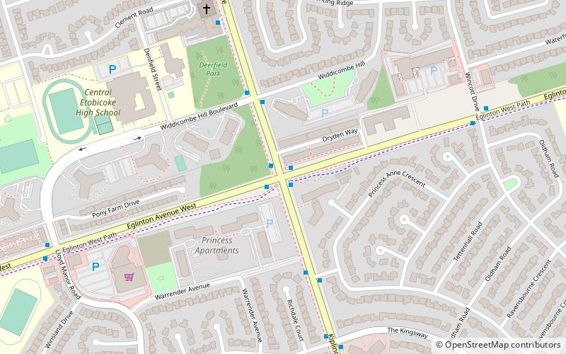
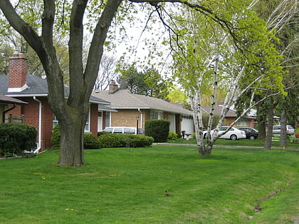
Richview, formally known as Willowridge-Martingrove-Richview, is a neighbourhood in the city of Toronto, Ontario, Canada. It is located in the district of Etobicoke. It is bounded on the west by Highway 401 and on the north by the highway and by Dixon Road, Royal York Road on the east, and Eglinton Avenue West along the south. It encompasses the former post office of "Richview" which was merged into the then-borough of Etobicoke. ()
Coordinates: 43°40'38"N, 79°33'3"W
Address
Central Etobicoke (Richview)Toronto
ContactAdd
Social media
Add
Day trips
Richview – popular in the area (distance from the attraction)
Nearby attractions include: Princess Gardens, Eringate-Centennial-West Deane, Kingsview Village, Thorncrest Village.
Frequently Asked Questions (FAQ)
How to get to Richview by public transport?
The nearest stations to Richview:
Bus
Bus
- Kipling Avenue at Eglinton Avenue West • Lines: 45A, 945 (1 min walk)
- Kipling Ave at Widdicombe Hill Blvd • Lines: 45A (3 min walk)

 Subway
 Streetcar system
 PATH
PATH


