St George's Golf & Country Club, Toronto
Map
Facts and practical information
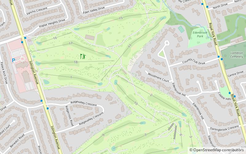
St. George's Golf and Country Club is a golf course and country club located in Etobicoke, Toronto, Ontario, Canada in the west end neighbourhood of Islington. The club was established originally in 1909 by Robert Home Smith from Stratford-upon-Avon, England who originally purchased the area of land which was located on the banks of the Humber River. ()
Established: 1929 (97 years ago)Coordinates: 43°40'25"N, 79°31'48"W
Address
1671 Islington AvenueCentral Etobicoke (Humber Valley Village)Toronto
ContactAdd
Social media
Add
Getting there by public transportation
Public transportation stops near this location
- Bus
 Bus
Bus
- Calculate routeKipling Ave at Princess Margaret Blvd 24 min walk
Maps SubwayMaps
 Streetcar systemMaps
 PATH
PATH
SubwayMapsStreetcar systemMapsPATHDay trips


Frequently Asked Questions (FAQ)
Which popular attractions are close to St George's Golf & Country Club?
Nearby attractions include Princess Gardens, Toronto (18 min walk), James Gardens, Toronto (21 min walk), Thorncrest Village, Toronto (21 min walk), Humber Valley Village, Toronto (21 min walk).
How to get to St George's Golf & Country Club by public transport?
The nearest stations to St George's Golf & Country Club:
Bus
Bus
- Kipling Ave at Princess Margaret Blvd • Lines: 45A (24 min walk)