Vista Heights, Calgary

Map
Facts and practical information
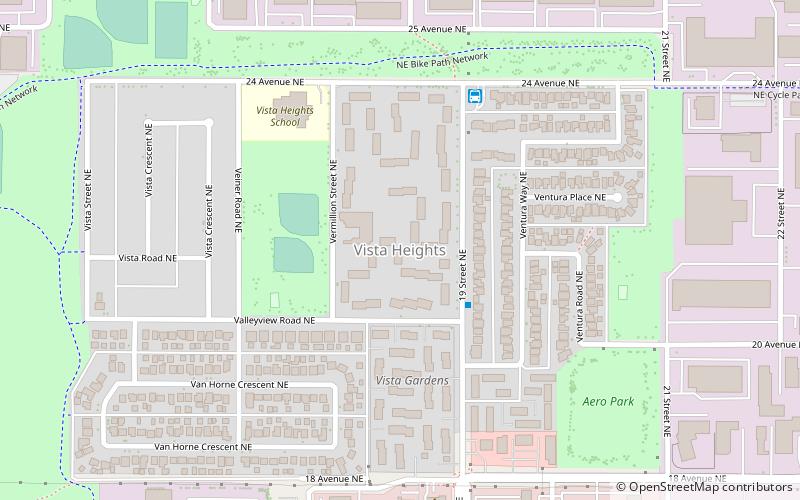
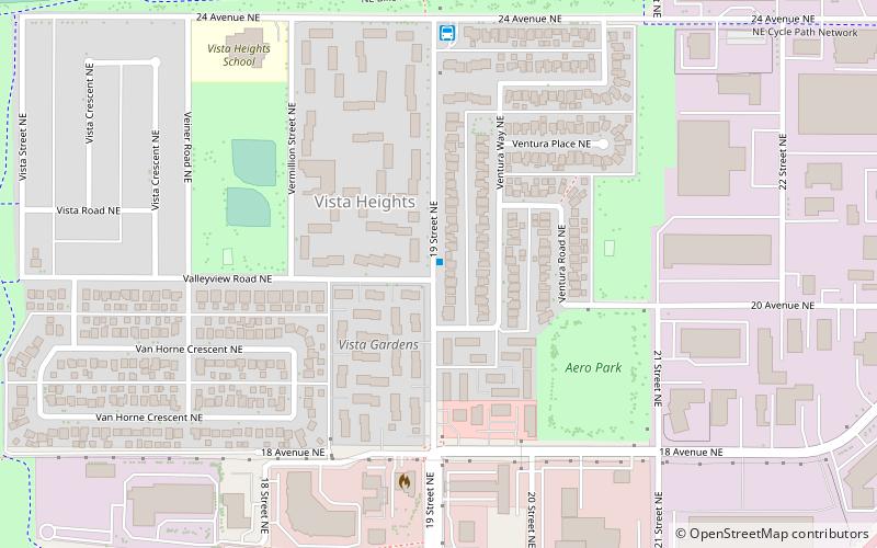
Vista Heights is a residential neighbourhood in the northeast quadrant of Calgary, Alberta. It is bounded to the south by the Trans-Canada Highway and to the west by Deerfoot Trail. To the north and east it borders the South Airways Industrial Area. ()
Area: 0.39 mi²Coordinates: 51°4'19"N, 114°0'53"W
Day trips
Vista Heights – popular in the area (distance from the attraction)
Nearby attractions include: McCall Lake Golf Course, Fox Hollow Golf Course, Mayland Heights, Winston Heights-Mountview.
Frequently Asked Questions (FAQ)
Which popular attractions are close to Vista Heights?
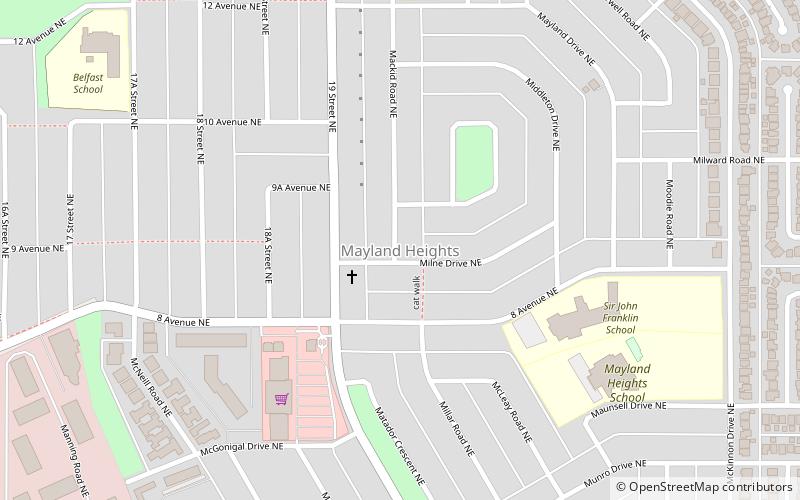
Nearby attractions include Winston Heights-Mountview, Calgary (3 min walk), Mayland Heights, Calgary (21 min walk).
How to get to Vista Heights by public transport?
The nearest stations to Vista Heights:
Bus
Bus
- Vista (5 min walk)
- 19th Street NE Station • Lines: 303 (9 min walk)


