Mayland Heights, Calgary
Map
Facts and practical information
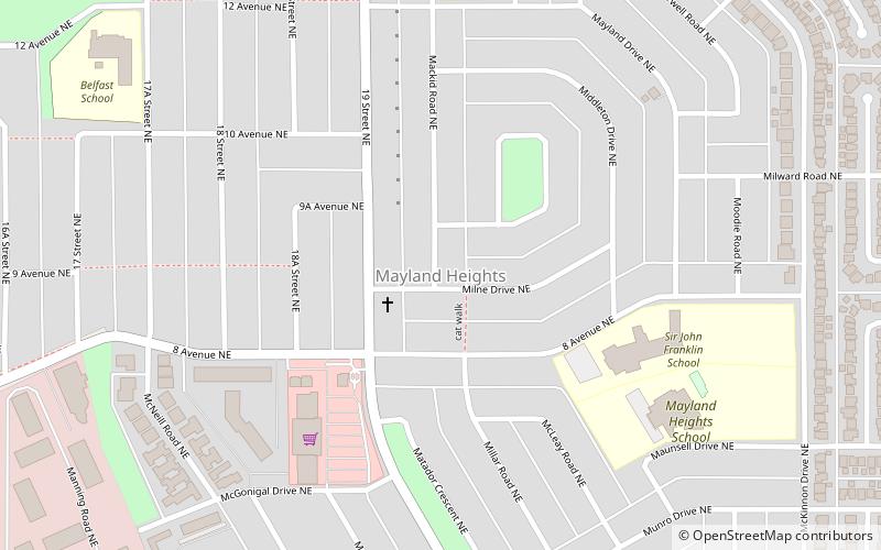
Mayland Heights is a residential neighbourhood in the northeast/southeast quadrant of Calgary, Alberta. It is bounded by Barlow Trail to the east, Memorial Drive to the south, Deerfoot Trail to the west and Trans-Canada Highway to the north. ()
Area: 0.66 mi²Coordinates: 51°3'38"N, 114°0'43"W
Getting there by public transportation
Public transportation stops near this location
- Bus
- Light rail
 Bus
Bus
- Calculate route19th Street NE Station 12 min walk
- Calculate routeVista 24 min walk
- Calculate routeBarlow / Max Bell 26 min walk
- Calculate routeBarlow/Max Bell 27 min walk
- Calculate routeZoo 28 min walk
- Calculate routeFranklin 31 min walk
Day trips


Frequently Asked Questions (FAQ)
Which popular attractions are close to Mayland Heights?
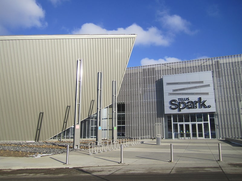
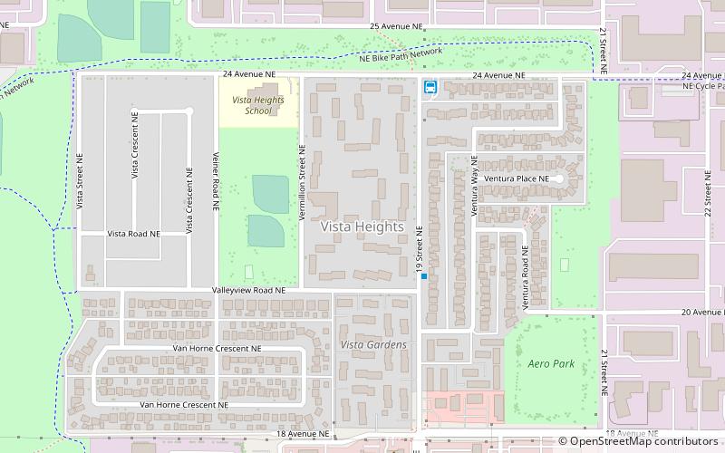
Nearby attractions include TELUS Spark Science Centre, Calgary (18 min walk), Winston Heights-Mountview, Calgary (19 min walk), Vista Heights, Calgary (21 min walk).
How to get to Mayland Heights by public transport?
The nearest stations to Mayland Heights:
Bus
Light rail
Bus
- 19th Street NE Station • Lines: 303 (12 min walk)
- Vista (24 min walk)
Light rail
- Barlow/Max Bell • Lines: 202 (27 min walk)
- Zoo • Lines: 202 (28 min walk)