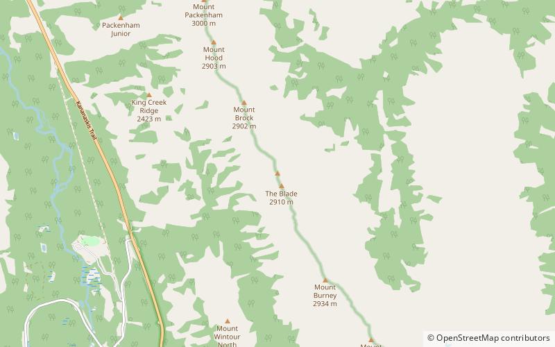
Mount Blane, Elbow-Sheep Wildland Provincial Park
Map

Map

Facts and practical information
Mount Blane is a 2,993-metre mountain summit located in the Opal Range of the Canadian Rockies of Alberta, Canada. Its nearest higher peak is Mount Jerram, 3.3 km to the southeast. ()
Coordinates: 50°43'35"N, 115°4'22"W
Address
Elbow-Sheep Wildland Provincial Park
ContactAdd
Social media
Add
Day trips
Mount Blane – popular in the area (distance from the attraction)
Nearby attractions include: Lower Kananaskis Lake, Gap Mountain, Mount Indefatigable, Elpoca Mountain.


