Milnesville, Markham
Map
Facts and practical information
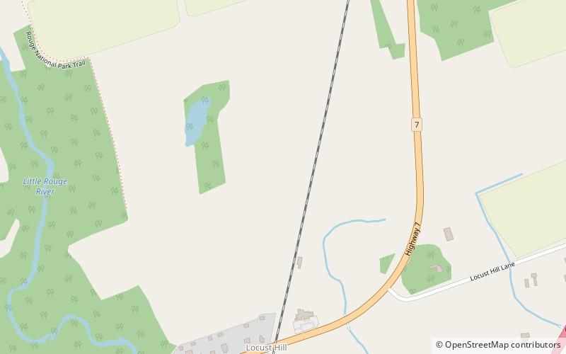
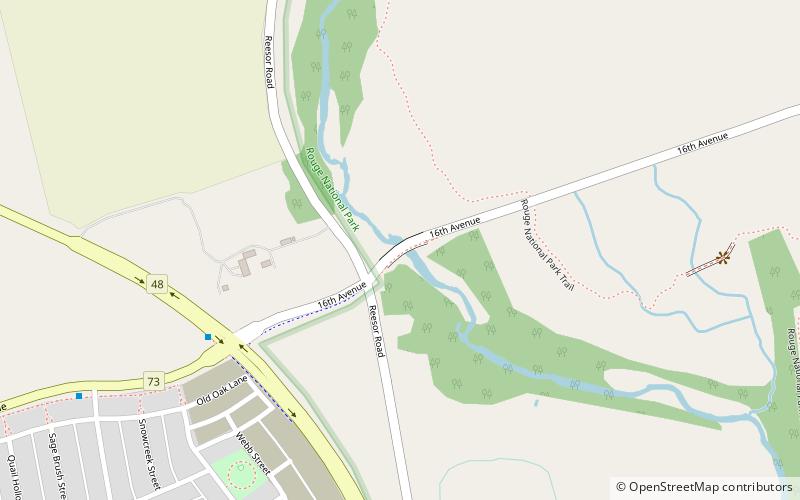
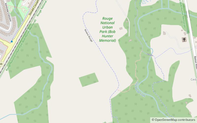
Milnesville is a historic community of Markham, Ontario on the 8th Line or 8th Concession Road, between Elgin Mills Road and Major Mackenze Drive, and the Little Rouge Creek. ()
Coordinates: 43°53'27"N, 79°11'52"W
Address
Rural MarkhamMarkham
ContactAdd
Social media
Add
Getting there by public transportation
Public transportation stops near this location
- Bus
 Bus
Bus
- Calculate routeHighway 7 / Donald Cousens Parkway 27 min walk
- Calculate routeCornell Rouge Boulevard / Riverlands Avenue 28 min walk
Day trips


Frequently Asked Questions (FAQ)
How to get to Milnesville by public transport?
The nearest stations to Milnesville:
Bus
Bus
- Highway 7 / Donald Cousens Parkway • Lines: 1 (27 min walk)
- Cornell Rouge Boulevard / Riverlands Avenue • Lines: 25 (28 min walk)