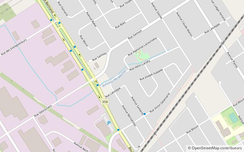
Lac-Saint-Charles–Saint-Émile, Quebec City
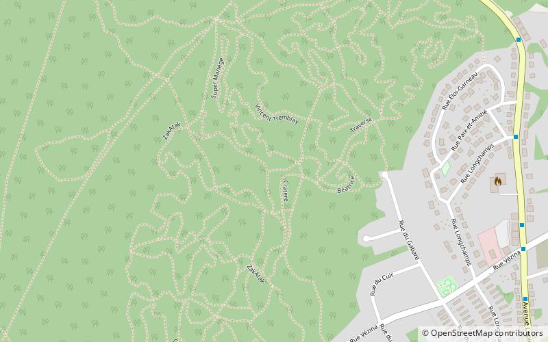
Map
Facts and practical information
Lac-Saint-Charles–Saint-Émile is the northernmost district of Quebec City located in the borough of La Haute-Saint-Charles. ()
Coordinates: 46°53'0"N, 71°20'60"W
Address
La Haute-Saint-Charles (Saint-Émile)Quebec City
ContactAdd
Social media
Add
Getting there by public transportation
Public transportation stops near this location
- Bus
 Bus
Bus
- Calculate routeLapierre 17 min walk
- Calculate routeStop Number 38 min walk
Day trips


Frequently Asked Questions (FAQ)
How to get to Lac-Saint-Charles–Saint-Émile by public transport?
The nearest stations to Lac-Saint-Charles–Saint-Émile:
Bus
Bus
- Lapierre • Lines: 282, 382, 82 (17 min walk)
- Stop Number • Lines: 282, 82 (38 min walk)