Quebec Autoroute 573, Quebec City

Map
Facts and practical information
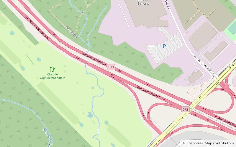
Autoroute 573 is a short spur road located in Québec City, Quebec, connecting Autoroutes 73 and 40 to Route 369. It facilitates access to the CFB Valcartier military base. ()
Coordinates: 46°49'27"N, 71°22'9"W
Address
Laurentien (Aeroport)Quebec City
ContactAdd
Social media
Add
Day trips
Quebec Autoroute 573 – popular in the area (distance from the attraction)
Nearby attractions include: Galeries de la Capitale, Islamic Cultural Centre of Quebec City, Chute Kabir Kouba, Sainte-Foy.


