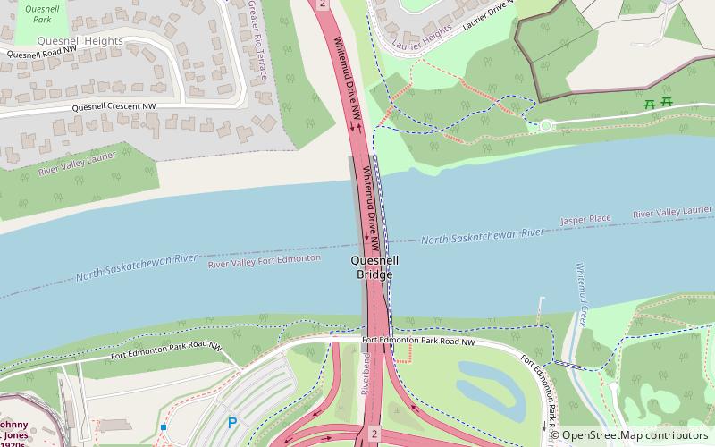
Quesnell Bridge, Edmonton

Gallery (1)
Map
Map
Facts and practical information
Opened: 1968 (58 years ago)Length: 1049 ftCoordinates: 53°30'24"N, 113°34'1"W
Address
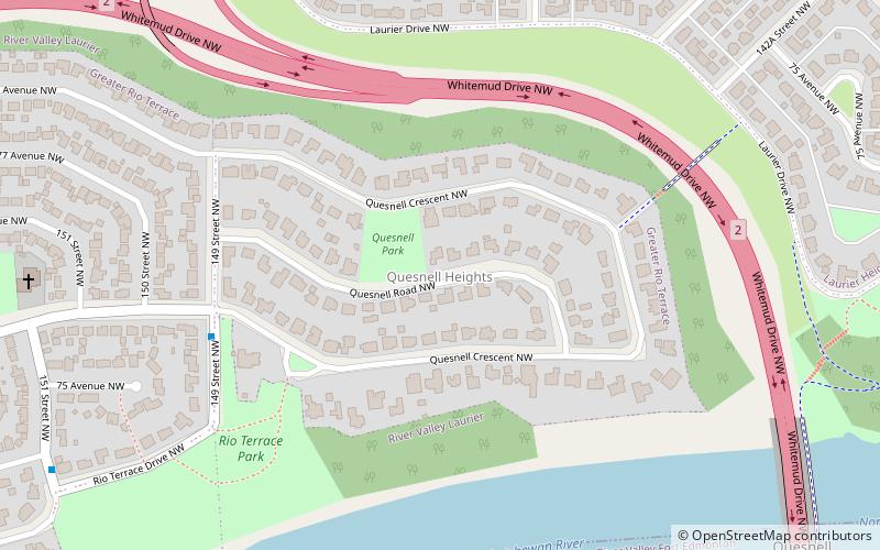
Whitemud DriveWest Edmonton (Quesnell Heights)Edmonton
ContactAdd
Social media
Add
Getting there by public transportation
Public transportation stops near this location
- Bus
 Bus
Bus
- Calculate routeFox Drive & Fort Edmonton Park Road 8 min walk
- Calculate route145 Street & 87 Ave 23 min walk
- Calculate route147 Street & 87 Ave 24 min walk
Day trips


Frequently Asked Questions (FAQ)
Which popular attractions are close to Quesnell Bridge?
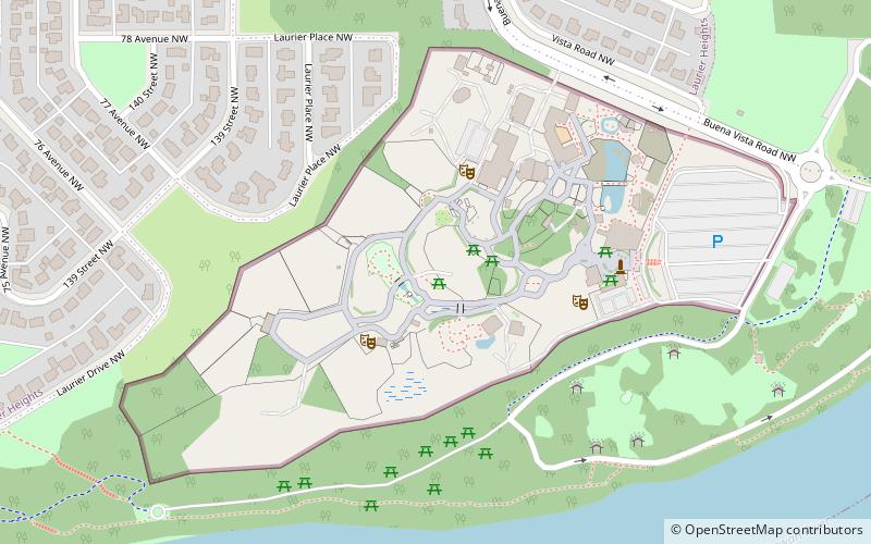
Nearby attractions include Quesnell Heights, Edmonton (9 min walk), Al-Rashid Mosque, Edmonton (12 min walk), Edmonton Valley Zoo, Edmonton (13 min walk), Laurier Heights, Edmonton (16 min walk).
How to get to Quesnell Bridge by public transport?
The nearest stations to Quesnell Bridge:
Bus
Bus
- Fox Drive & Fort Edmonton Park Road • Lines: 4 (8 min walk)
- 145 Street & 87 Ave • Lines: 2, 2-Owl (23 min walk)