Al-Rashid Mosque, Edmonton

Gallery (1)
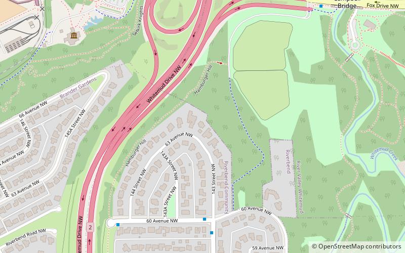
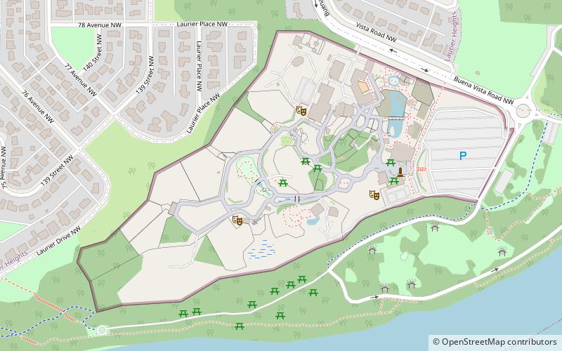
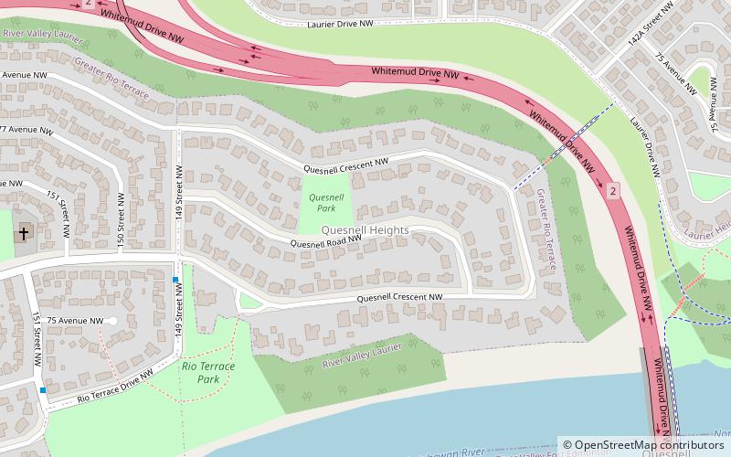
Map
Map
Facts and practical information
The Al-Rashid Mosque was the first mosque built in Canada. It was constructed in Edmonton, Alberta. ()
Completed: 1938 (88 years ago)Coordinates: 53°30'0"N, 113°34'1"W
Getting there by public transportation
Public transportation stops near this location
- Bus
 Bus
Bus
- Calculate routeFox Drive & Fort Edmonton Park Road 8 min walk
- Calculate route156 Street & 76 Ave 29 min walk
- Calculate route76 Ave & 156 Street 29 min walk
Day trips


Frequently Asked Questions (FAQ)
Which popular attractions are close to Al-Rashid Mosque?
Nearby attractions include Quesnell Bridge, Edmonton (12 min walk), Fort Edmonton Park, Edmonton (15 min walk), Brander Gardens, Edmonton (16 min walk), Brookside, Edmonton (16 min walk).
How to get to Al-Rashid Mosque by public transport?
The nearest stations to Al-Rashid Mosque:
Bus
Bus
- Fox Drive & Fort Edmonton Park Road • Lines: 4 (8 min walk)
- 156 Street & 76 Ave • Lines: 4 (29 min walk)