St. Paul's Eastern United Church, Ottawa
Map
Map

Facts and practical information
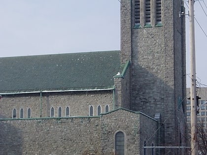
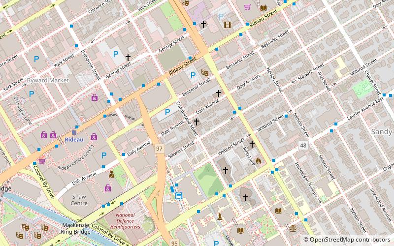
St. Paul's-Eastern United Church is one of the oldest congregations in Ottawa, Ontario, Canada. The stone Romanesque church building is located in the heart of downtown Ottawa on the corner of Daly and Cumberland Streets, near the University of Ottawa and two blocks east of the Rideau Centre. ()
Coordinates: 45°25'36"N, 75°41'10"W
Day trips
St. Paul's Eastern United Church – popular in the area (distance from the attraction)
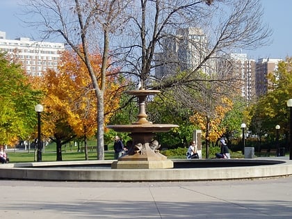
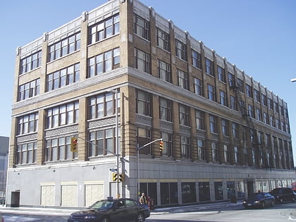
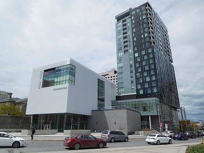
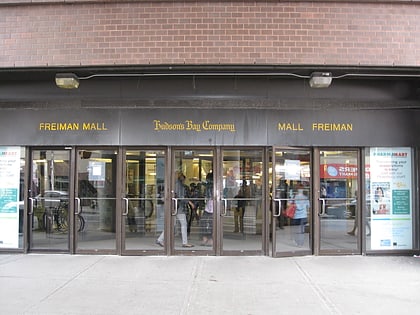
Nearby attractions include: Rideau Centre, Confederation Park, Ogilvy's, Ottawa Art Gallery.
Frequently Asked Questions (FAQ)
Which popular attractions are close to St. Paul's Eastern United Church?
Nearby attractions include St. Bartholomew's Anglican Church, Ottawa (2 min walk), St. Alban's Anglican Church, Ottawa (2 min walk), St. Joseph, Ottawa (3 min walk), Ottawa Art Gallery, Ottawa (4 min walk).
How to get to St. Paul's Eastern United Church by public transport?
The nearest stations to St. Paul's Eastern United Church:
Bus
Light rail
Bus
- King Edward / Stewart • Lines: 56 (3 min walk)
- Rideau / Cumberland • Lines: 12, 14, 15, 17, 18, 7 (3 min walk)
Light rail
- Rideau O-Train East/Est • Lines: 1 (7 min walk)
- UOttawa O-Train East/Est • Lines: 1 (12 min walk)

