St. Theresa's Catholic Church, Ottawa
Map
Map

Facts and practical information
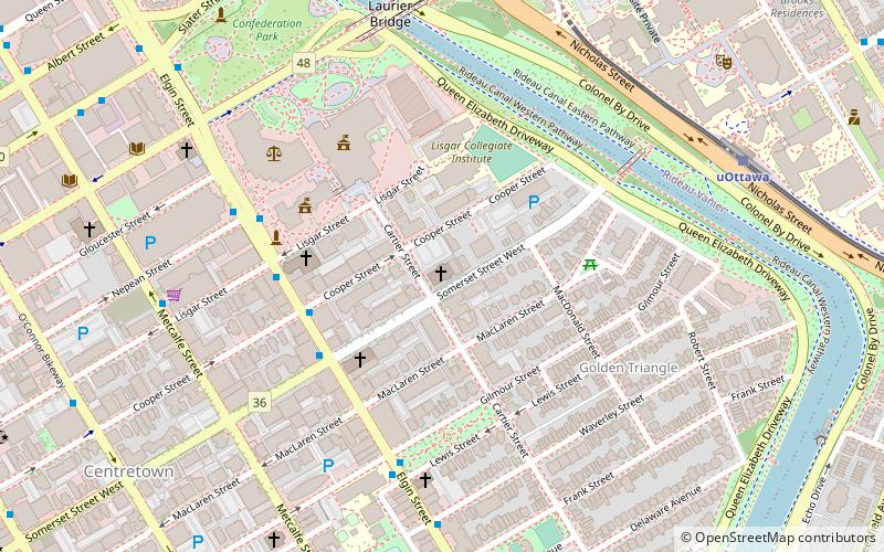
St. Theresa's Catholic Church is a Roman Catholic church on Cartier Street in Ottawa, Ontario, Canada. The church is located in the eastern section of downtown Ottawa, on Somerset Street between Elgin Street and the Rideau Canal. ()
Coordinates: 45°25'8"N, 75°41'18"W
Day trips
St. Theresa's Catholic Church – popular in the area (distance from the attraction)
Nearby attractions include: Barrymore's, Rideau Centre, Confederation Park, Canadian Museum of Nature.
Frequently Asked Questions (FAQ)
Which popular attractions are close to St. Theresa's Catholic Church?
Nearby attractions include Anglican Church of St. John the Evangelist, Ottawa (3 min walk), Knox Presbyterian Church, Ottawa (4 min walk), Minto Park, Ottawa (4 min walk), Ottawa City Hall, Ottawa (4 min walk).
How to get to St. Theresa's Catholic Church by public transport?
The nearest stations to St. Theresa's Catholic Church:
Bus
Light rail
Bus
- Elgin / Cooper • Lines: 114, 14, 5 (4 min walk)
- Elgin / Lisgar • Lines: 114, 5 (4 min walk)
Light rail
- UOttawa O-Train East/Est • Lines: 1 (8 min walk)
- Rideau O-Train West/Ouest • Lines: 1 (14 min walk)

