Winnipeg Walkway, Winnipeg

Gallery (10)
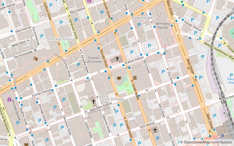
Map

Map

Gallery
Facts and practical information
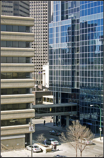
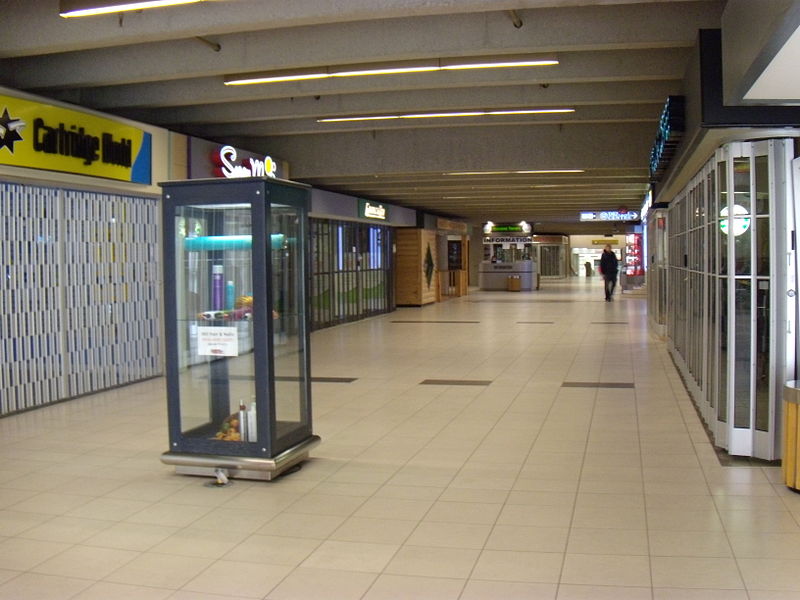
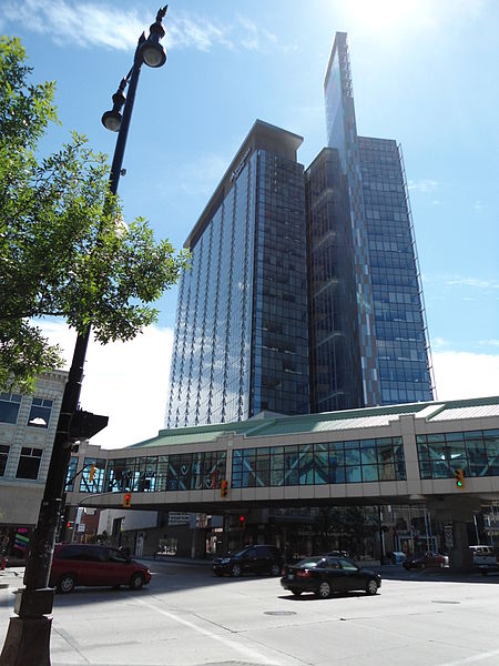
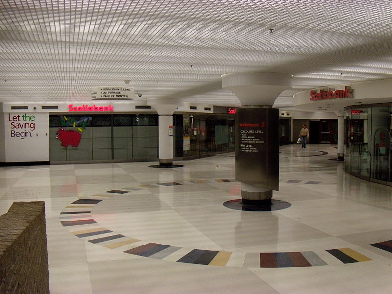
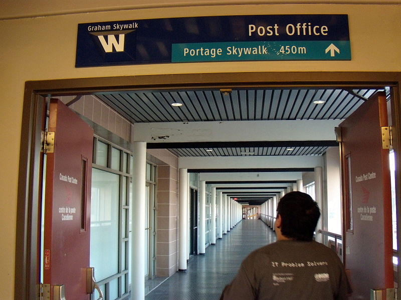
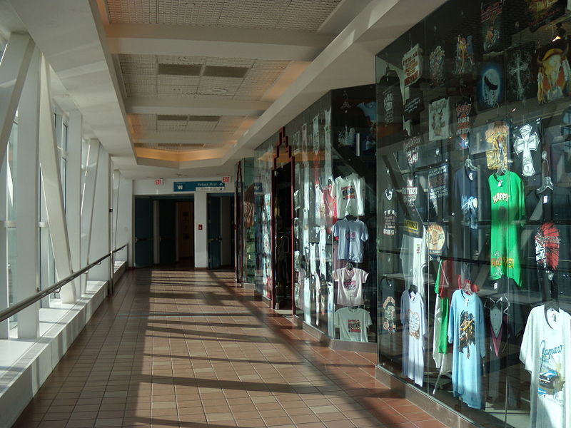
The Winnipeg Walkway System, also known as the Winnipeg Skywalk, is a network of pedestrian skyways and tunnels connecting a significant portion of downtown Winnipeg, Manitoba. ()
Coordinates: 49°53'44"N, 97°8'19"W
Address
Central Winnipeg (Downtown Winnipeg)Winnipeg
ContactAdd
Social media
Add
Getting there by public transportation
Public transportation stops near this location
- Bus
- Train
 Bus
Bus
- Calculate routeSouthbound Main at Lombard 2 min walk
- Calculate routeWestbound Portage at Main 2 min walk
- Calculate routeEastbound Portage at Main 2 min walk
- Calculate routeNorthbound Fort at Portage 2 min walk
- Calculate routeWinnipeg 13 min walk
Day trips
Winnipeg Walkway – popular in the area (distance from the attraction)
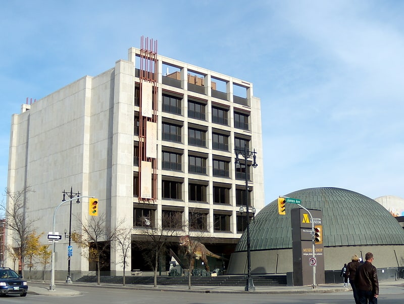
Nearby attractions include: Winnipeg Square, Canada Life Centre, Cityplace, Shaw Park.


Frequently Asked Questions (FAQ)
Which popular attractions are close to Winnipeg Walkway?
Nearby attractions include Portage and Main, Winnipeg (1 min walk), 201 Portage, Winnipeg (1 min walk), Richardson Building, Winnipeg (2 min walk), Downtown Winnipeg, Winnipeg (3 min walk).
How to get to Winnipeg Walkway by public transport?
The nearest stations to Winnipeg Walkway:
Bus
Train
Bus
- Southbound Main at Lombard • Lines: 11, 15, 20, 21, 22, 24, 25, 28, 40, 41, 67 (2 min walk)
- Westbound Portage at Main • Lines: 10, 38, 43, 50, 56 (2 min walk)
Train
- Winnipeg (13 min walk)