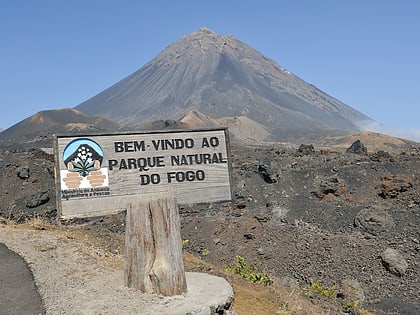
Fogo Volcanic Important Bird Area, Chã das Caldeiras
Map
Map

Facts and practical information
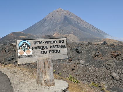
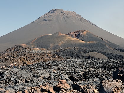
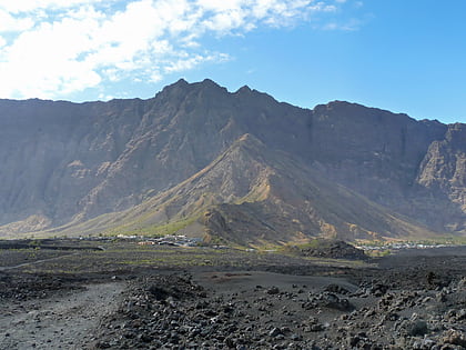
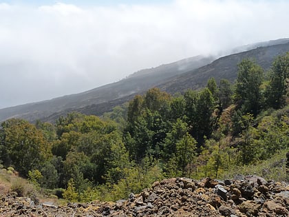
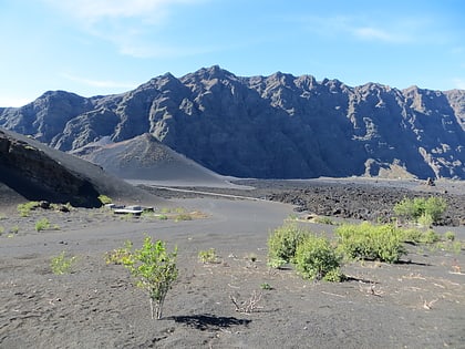
Fogo Natural Park, on the island of Fogo, is one of ten "natural parks" in the country of Cape Verde. The protected area is 84.69 km2, which is 17.8% of the total area of the island. 50% of the park lies within the municipality Santa Catarina do Fogo, 28% in municipality of Mosteiros and 22% in São Filipe. The natural park is situated in the interior of the island, and covers the volcano Pico do Fogo, its crater and crater rim and the forest of Monte Velha. The volcano is active; the most recent eruption was in 2014-15. ()
Coordinates: 14°57'0"N, 24°22'60"W
Address
Chã das Caldeiras
ContactAdd
Social media
Add
Day trips
Fogo Volcanic Important Bird Area – popular in the area (distance from the attraction)
Nearby attractions include: Pico do Fogo, Bordeira, Monte Velha, Cabeça Fundão.
