Rui Vaz, Santiago

Gallery (4)
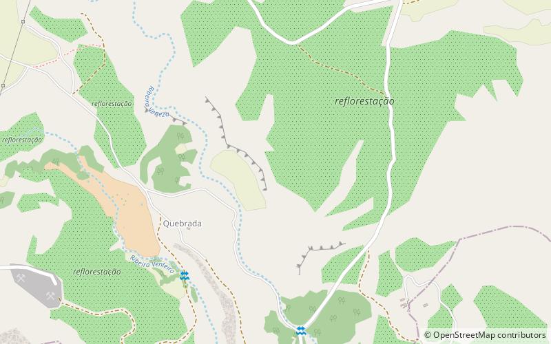
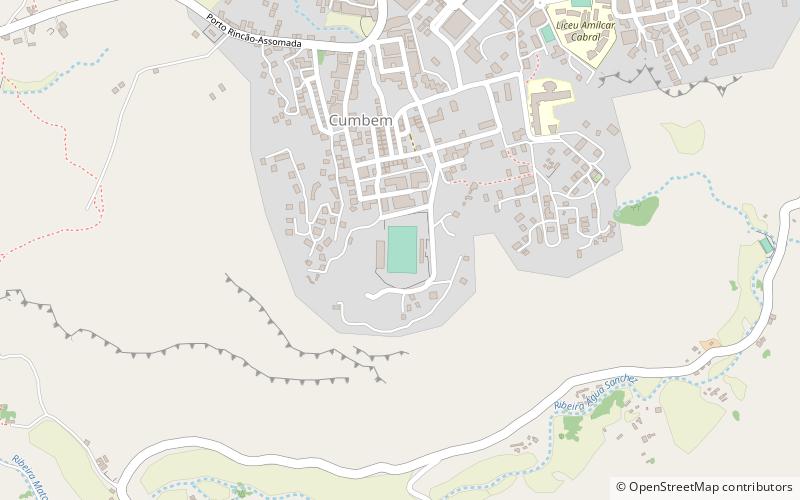
Map

Map
Gallery
Facts and practical information
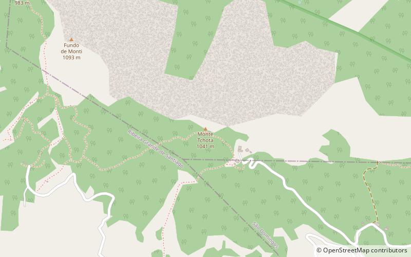
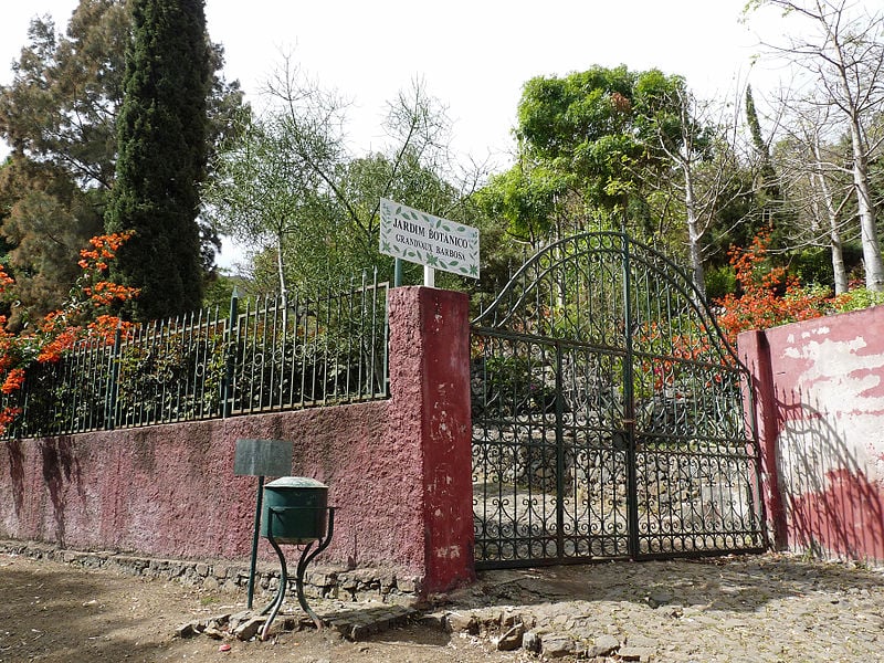
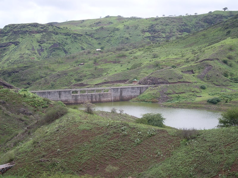
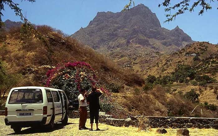
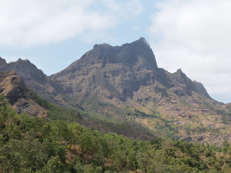
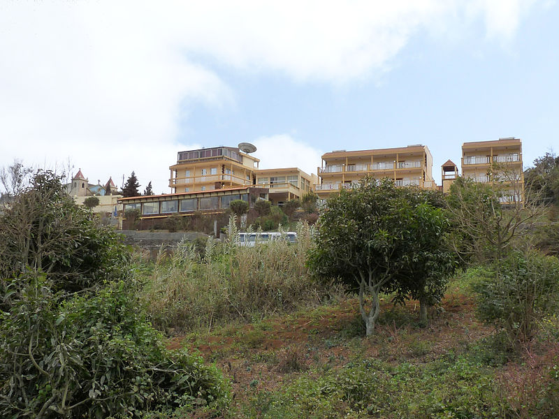
Rui Vaz is a settlement in the central part of the island of Santiago, Cape Verde. In 2010 its population was 1,078. It is situated at 809 m elevation, 2 km south of São Jorge dos Órgãos and 4 km west of São Domingos. It is part of the municipality of São Domingos. ()
Address
Santiago
ContactAdd
Social media
Add
Day trips