Monte Tchota, Santiago
Map
Facts and practical information
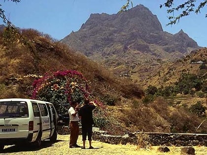
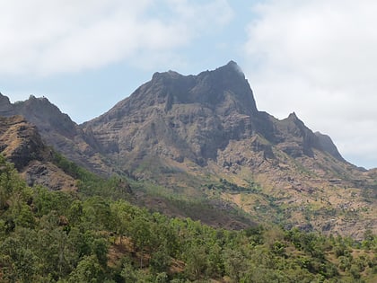
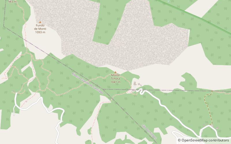
Monte Tchota is a mountain located in the central part of Santiago Island in Cape Verde. Its elevation is 1,041 m. It is part of the Serra do Pico de Antónia Natural Park, and lies 1.5 km southeast of Pico de Antónia, the highest point of the island. The village Rui Vaz lies 3 km to the east. ()
Coordinates: 15°2'17"N, 23°37'28"W
Address
Santiago
ContactAdd
Social media
Add
Day trips
Monte Tchota – popular in the area (distance from the attraction)
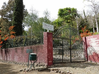
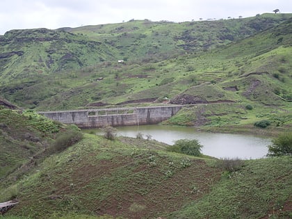
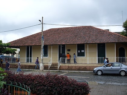
Nearby attractions include: Jardim Botanico, Barragem de Poilão, Pico da Antónia, Museu da Tabanka.
