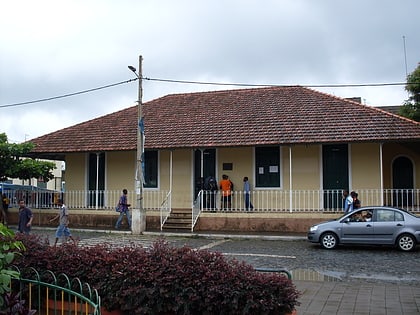
Serra do Pico da Antónia Important Bird Area, Santiago
Map
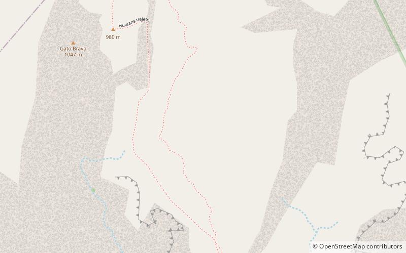
Map

Facts and practical information
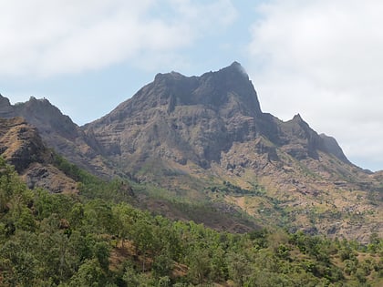
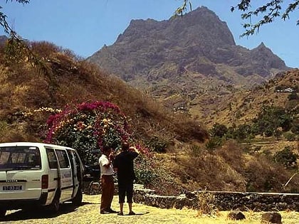
The Serra do Pico de Antónia is a mountain range in the centre of the island of Santiago in the Cape Verde archipelago. It contains the Pico de Antónia, at 1,392 m the highest point of the island. It is protected as a natural park, covering 28.73 km2. The natural park covers the connected mountain ranges of Serra do Pico de Antónia and of Rui Vaz. ()
Coordinates: 15°3'0"N, 23°39'0"W
Address
Santiago
ContactAdd
Social media
Add
Day trips
Serra do Pico da Antónia Important Bird Area – popular in the area (distance from the attraction)
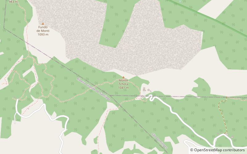
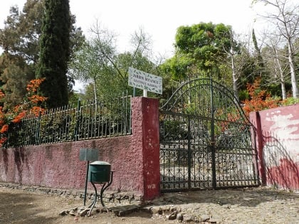
Nearby attractions include: Monte Tchota, Jardim Botanico, Pico da Antónia, Museu da Tabanka.
