Miguel Gonçalves, Fogo
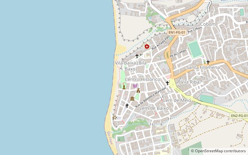
Map
Facts and practical information
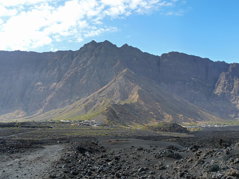
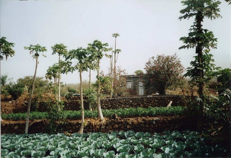
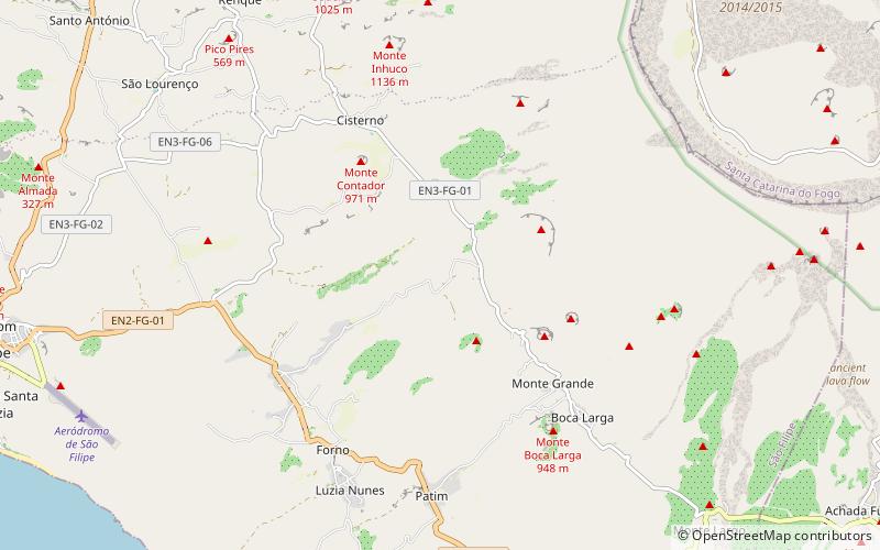
Miguel Gonçalves is a settlement in the central part of the island of Fogo, Cape Verde. It is situated at about 850 m elevation, 8 km east of the island capital São Filipe. ()
Address
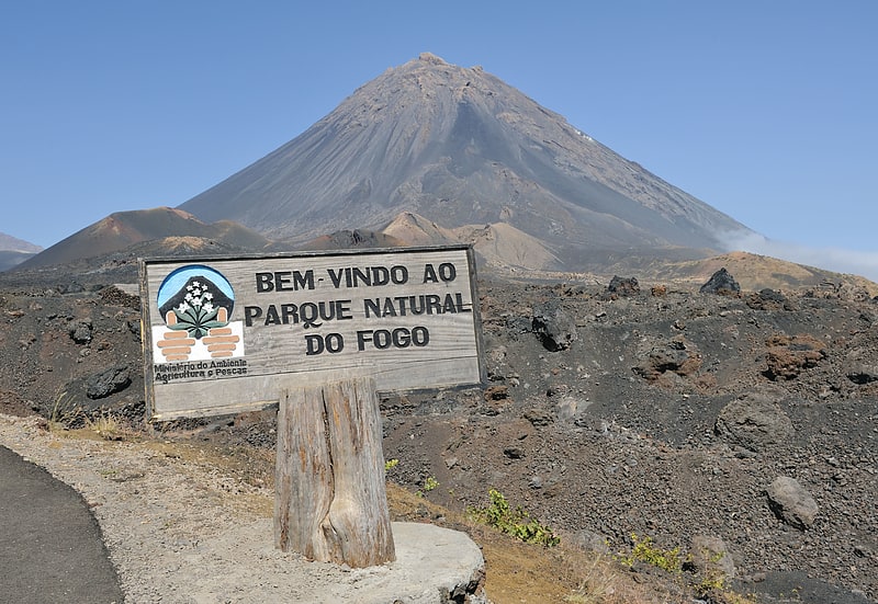
Fogo
ContactAdd
Social media
Add
Day trips