Chã de Tanque, Santiago
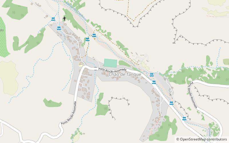
Map
Facts and practical information
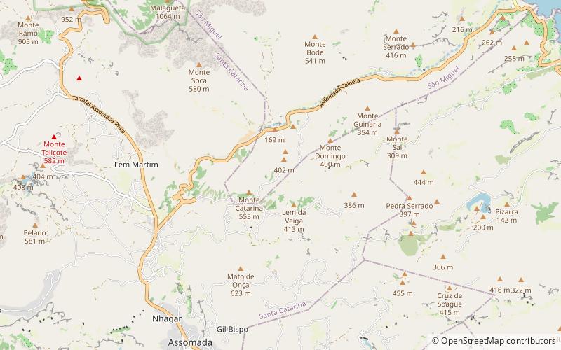
Chã de Tanque is a town in the west-central part of the island of Santiago, Cape Verde. It is part of the municipality of Santa Catarina. In 2010 its population was 1,164. It is situated 4 km west of Assomada, on the road to Rincão. The elevation is about 260 meters above sea level. Since 2008, it is home to the Museu da Tabanca. ()
Coordinates: 15°5'32"N, 23°42'9"W
Address
Santiago
ContactAdd
Social media
Add
Day trips
Chã de Tanque – popular in the area (distance from the attraction)
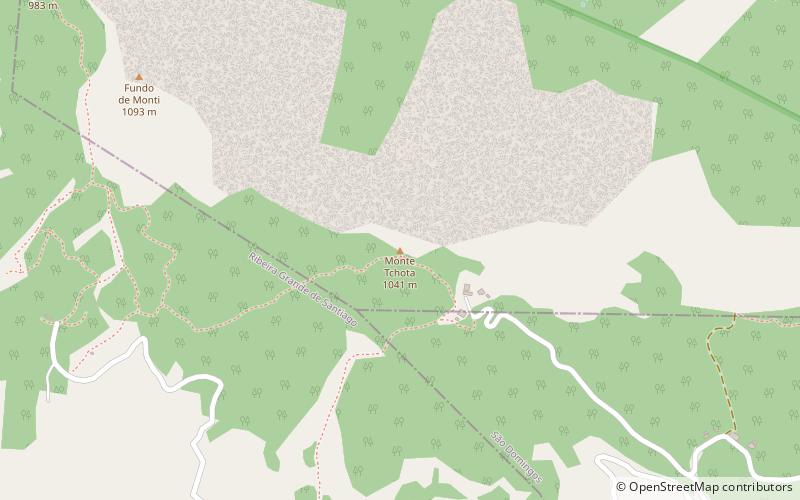
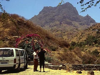
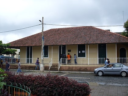
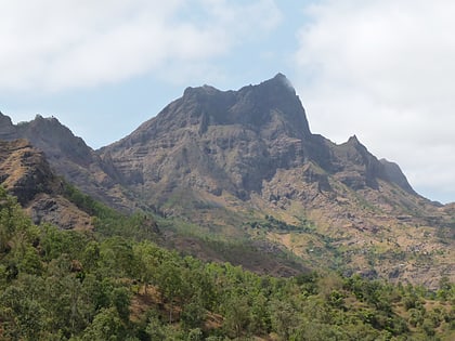
Nearby attractions include: Monte Tchota, Pico da Antónia, Museu da Tabanka, Serra do Pico da Antónia Important Bird Area.
