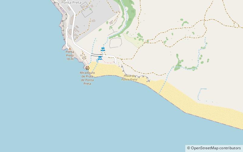
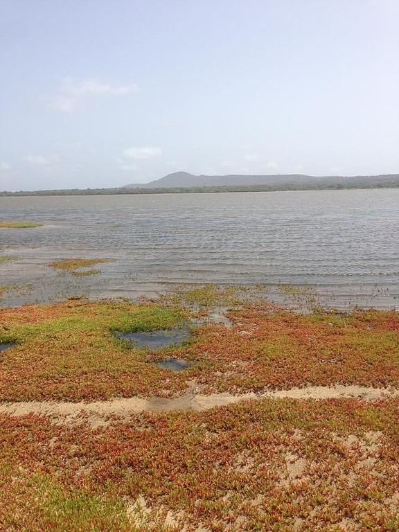
Praia de Ponta Preta, Maio
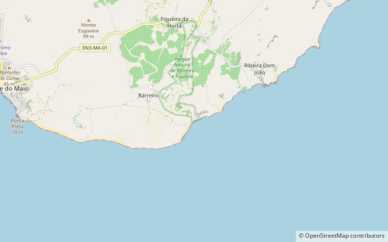
Map
Facts and practical information
Praia de Ponta Preta is a place located in Maio (Maio county) and belongs to the category of beach.
It is situated at an altitude of 10 feet, and its geographical coordinates are 15°7'35"N latitude and 23°12'12"W longitude.
Planning a visit to this place, one can easily and conveniently get there by public transportation. Praia de Ponta Preta is a short distance from the following public transport stations: Pier da ilha do MAIO (ferry, 38 min walk).
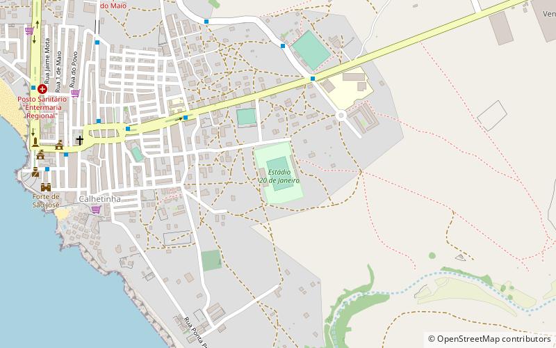
Among other places and attractions worth visiting in the area are: Estádio Municipal 20 de Janeiro (sport, 19 min walk), Forte de São José (lighthouse, 24 min walk), Cidade do Maio (city, 29 min walk).
Coordinates: 15°7'35"N, 23°12'12"W
Address
Maio
ContactAdd
Social media
Add
Getting there by public transportation
Public transportation stops near this location
- Ferry
 Ferry
Ferry
- Calculate routePier da ilha do MAIO 38 min walk
Day trips


Frequently Asked Questions (FAQ)
How to get to Praia de Ponta Preta by public transport?
The nearest stations to Praia de Ponta Preta:
Ferry
Ferry
- Pier da ilha do MAIO (38 min walk)