Trek Zone

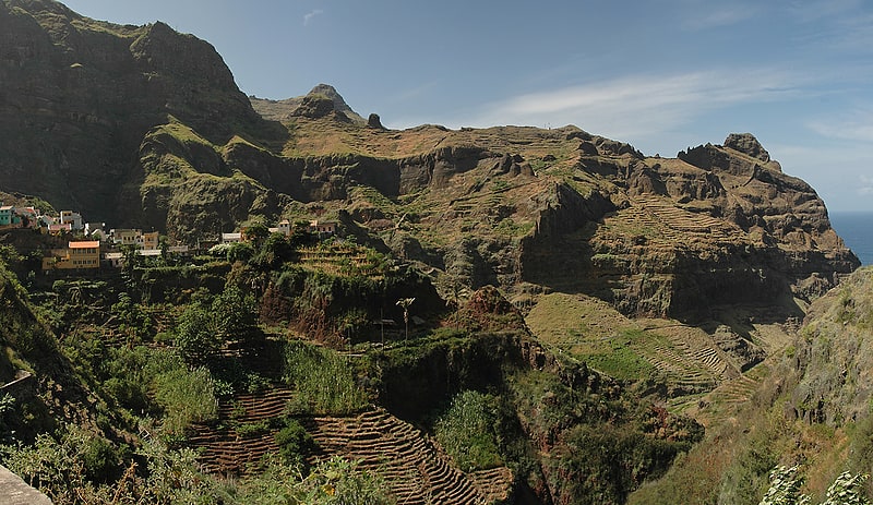
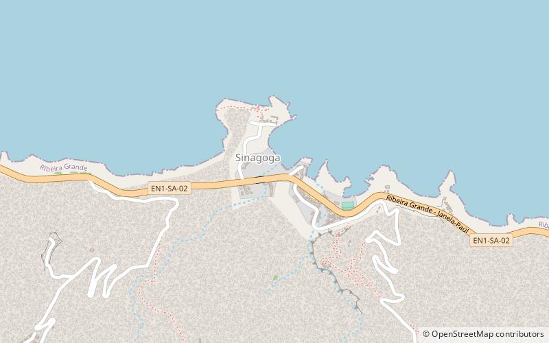
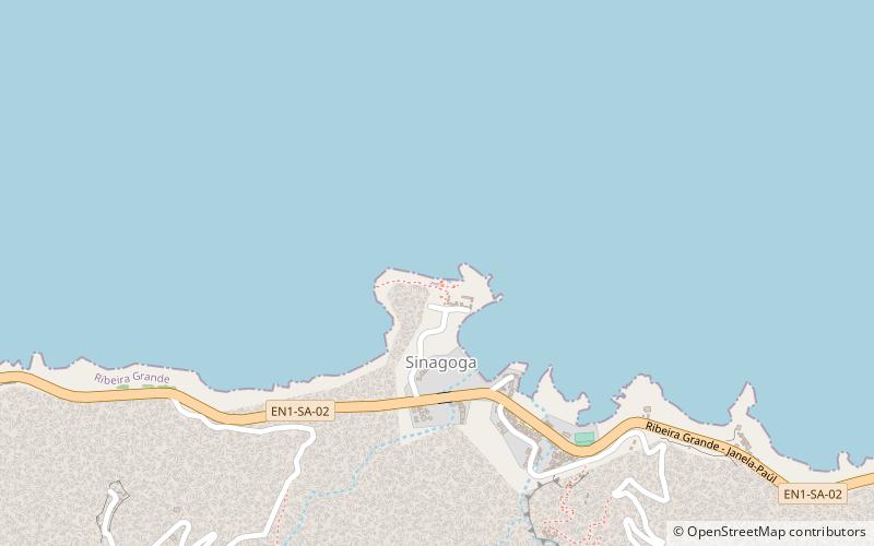
Sinagoga antiga, Santo Antão

#12 among attractions in Santo Antão

Ruins
Sinagoga antiga location map
Map

Facts and practical information

Sinagoga antiga is a place located in Santo Antão (Ribeira Grande county) and belongs to the category of ruins.

It is situated at an altitude of 13 feet, and its geographical coordinates are 17°10'48"N latitude and 25°1'57"W longitude.

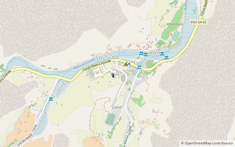
Among other places and attractions worth visiting in the area are: Sinagoga (village, 4 min walk), Estádio João Serra (sport, 57 min walk), Coculi (town, 114 min walk).

Coordinates: 17°10'48"N, 25°1'57"W
Address

Santo Antão Cape Verde

ContactAdd
Social media
Add
Day trips

Sinagoga antiga – popular in the area (distance from the attraction)

Nearby attractions include: Cova, Pico da Cruz, Fontes Pereira de Melo Lighthouse, Fontainhas.

  • cova santo antao5.4 miS
  • pico da cruz santo antao5.3 miS
  • farol de fontes pereira de melo santo antao6.1 miSE
  • fontainhas santo antao4.7 miW
  • coculi santo antao location map
    4.4 miW
  • estadio joao serra2.2 miNW
  • sinagoga santo antao location map
    ~790 ftS
  • janela santo antao5.1 miSE

Where to next? Visit ribeira grande Ribeira Grande region page or discover the top tourist attractions in Cape Verde.