Tinteira, Fogo
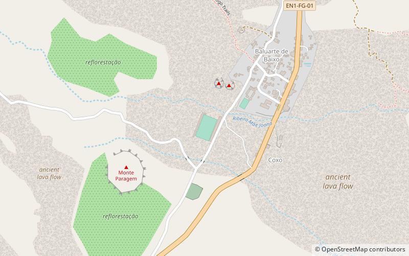
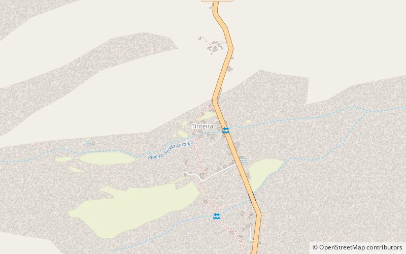
Map
Gallery
Facts and practical information
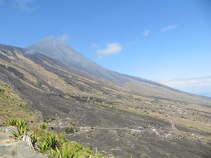
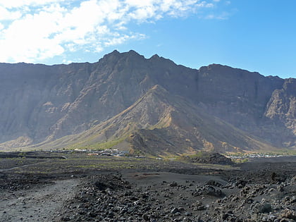
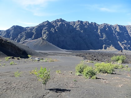
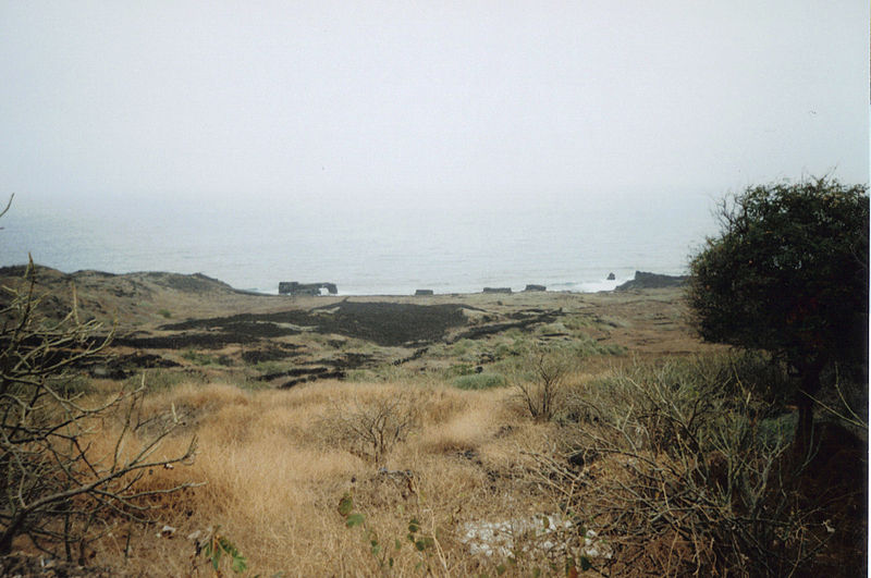
Tinteira is a settlement in the eastern part of the island of Fogo, Cape Verde. It is situated 4 km north of Cova Figueira, 5 km south of Relva and 22 km east of the island capital São Filipe. At the 2010 census its population was 410. Its elevation is 300 meters. Tinteira consists of the localities Tinteira, Cova Matinho and Cutelo Capado. ()
Coordinates: 14°55'44"N, 24°17'48"W
Address
Fogo
ContactAdd
Social media
Add
Day trips
Tinteira – popular in the area (distance from the attraction)
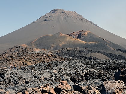
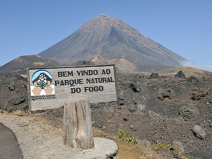
Nearby attractions include: Pico do Fogo, Bordeira, Monte Velha, Cabeça Fundão.
