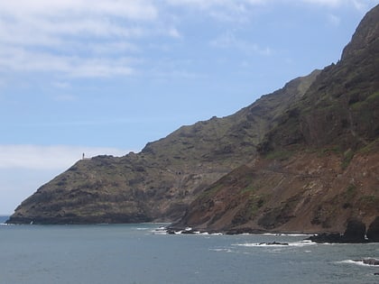
Cabo da Ribeira, Santo Antão
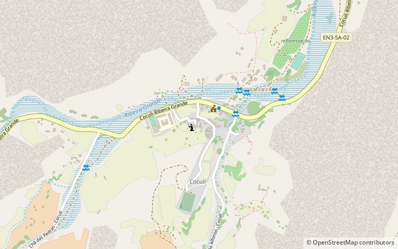
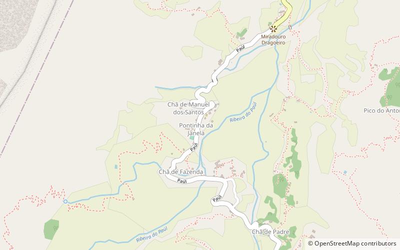
Map
Map

Facts and practical information
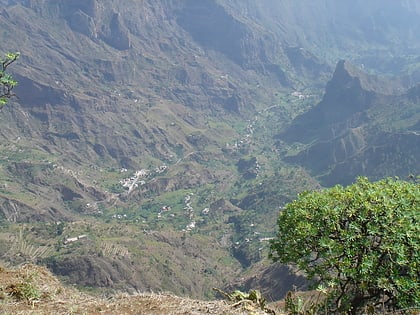
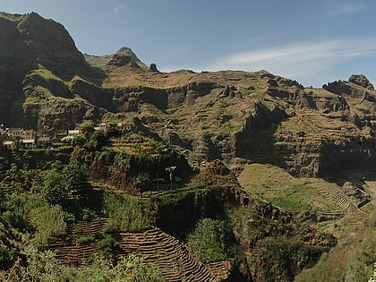
Cabo da Ribeira is a settlement in the eastern part of the island of Santo Antão, Cape Verde. In 2010 its population was 912. It is situated at about 500 m elevation in the upper valley of the Ribeira do Paul, 5 km southwest of Pombas. It is part of the municipality of Paul, and lies in the Cova-Paul-Ribeira da Torre Natural Park. ()
Coordinates: 17°7'11"N, 25°3'7"W
Address
Santo Antão
ContactAdd
Social media
Add
Day trips
Cabo da Ribeira – popular in the area (distance from the attraction)
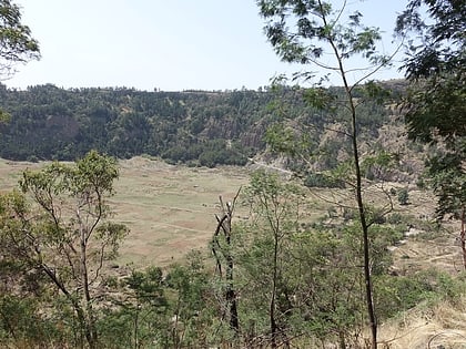
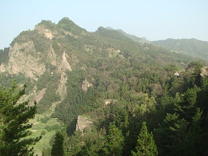
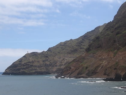
Nearby attractions include: Cova, Pico da Cruz, Fontes Pereira de Melo Lighthouse, Fontainhas.
