Figueiral, Santo Antão
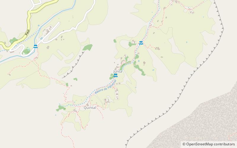
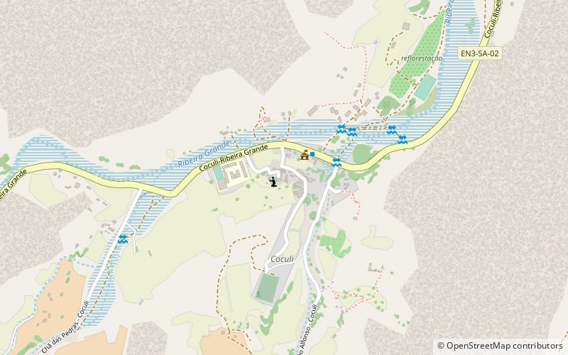
Map
Facts and practical information
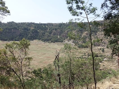
Figueiral is a settlement in the eastern part of the island of Santo Antão, Cape Verde. In 2010 its population was 591. It is part of the municipality of Paul. It is situated in the valley of the Ribeira do Figueiral, a tributary of the Ribeira do Paul, 2 km southwest of Eito and 3 km southwest of Pombas. ()
Coordinates: 17°7'52"N, 25°2'6"W
Address
Santo Antão
ContactAdd
Social media
Add
Day trips
Figueiral – popular in the area (distance from the attraction)
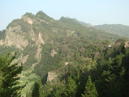
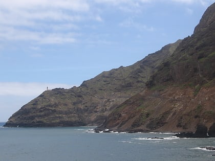
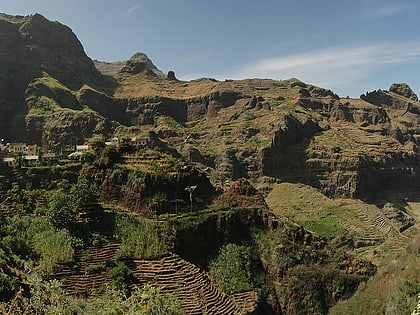
Nearby attractions include: Cova, Pico da Cruz, Fontes Pereira de Melo Lighthouse, Fontainhas.
