Monte Bove, Yendegaia National Park

Gallery (1)
Map
Map
Facts and practical information
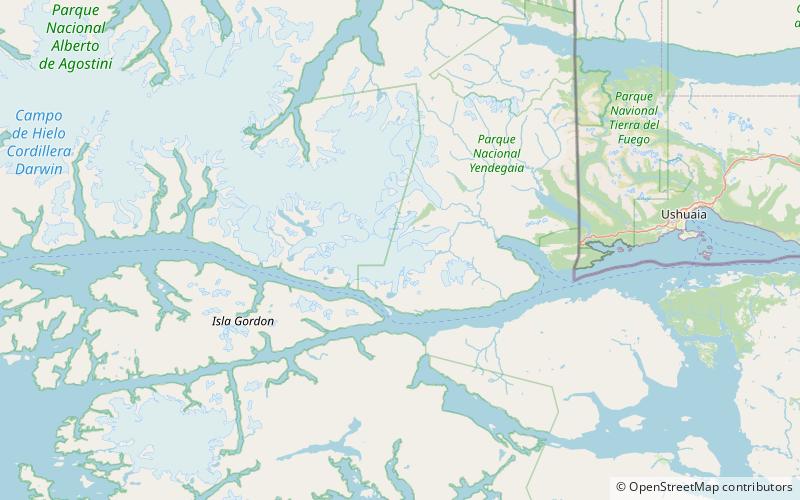
Monte Bove is an ice-capped mountain at the eastern end of the Cordillera Darwin, Chile. The summit was reached for the first time in 1963 by a team led by Eric Shipton. The second recorded ascent of Monte Bove was made in 1990. ()
Address
Yendegaia National Park
ContactAdd
Social media
Add
Day trips
Monte Bove – popular in the area (distance from the attraction)
Nearby attractions include: Holanda Glacier.
