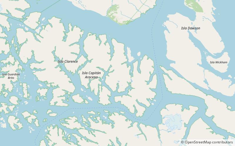
Aracena Island, Alberto de Agostini National Park

Map
Facts and practical information
Aracena Island is an island in the Magallanes Region of Chile. It belongs to the Tierra del Fuego archipelago, and forms part of the Alberto de Agostini National Park. ()
Local name: Isla Capitán Aracena Area: 449.42 mi²Maximum elevation: 3799 ftCoordinates: 54°9'31"S, 71°19'60"W
Address
Alberto de Agostini National Park
ContactAdd
Social media
Add