Chaitén Volcano, Bosques Templados Lluviosos de los Andes Australes
Map
Gallery
Facts and practical information
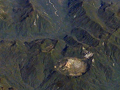
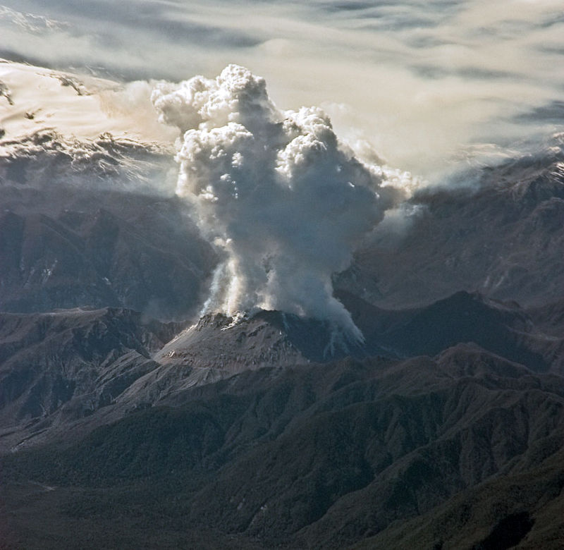
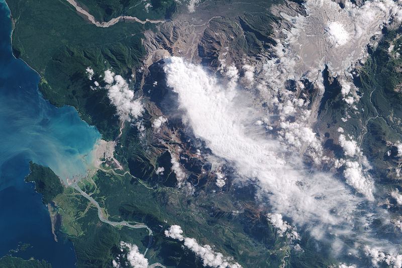
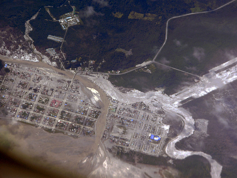
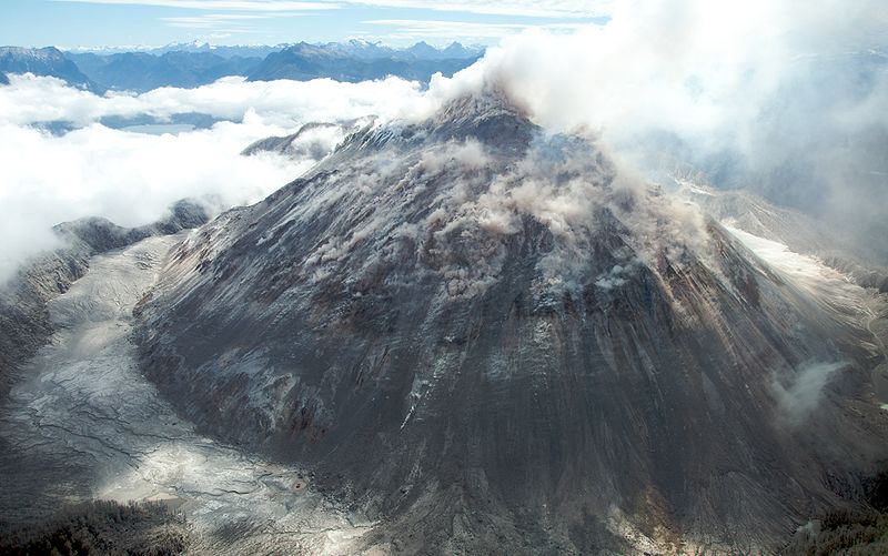
Chaitén is a volcanic caldera 3 kilometres in diameter, 17 kilometres west of the elongated ice-capped Michinmahuida volcano and 10 kilometres northeast of the town of Chaitén, near the Gulf of Corcovado in southern Chile. The most recent eruptive phase of the volcano erupted on 2008. Originally, radiocarbon dating of older tephra from the volcano suggested that its last previous eruption was in 7420 BC ± 75 years. However, recent studies have found that the volcano is more active than thought. According to the Global Volcanism Program, its last eruption was in 2011. ()
Address
Bosques Templados Lluviosos de los Andes Australes
ContactAdd
Social media
Add
