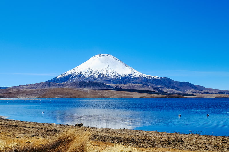
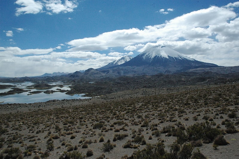
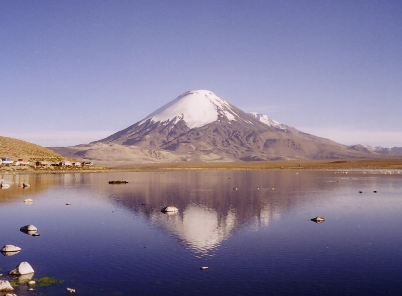
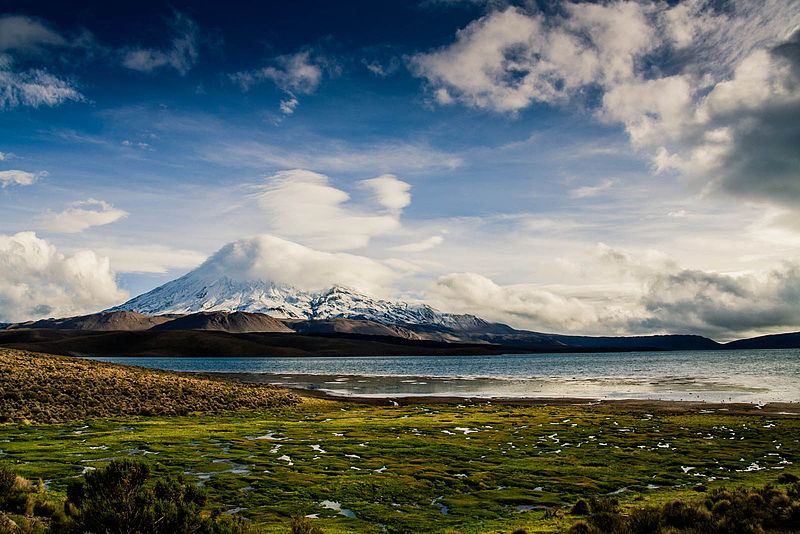
Chungará Lake, Lauca
Gallery (3)
Map
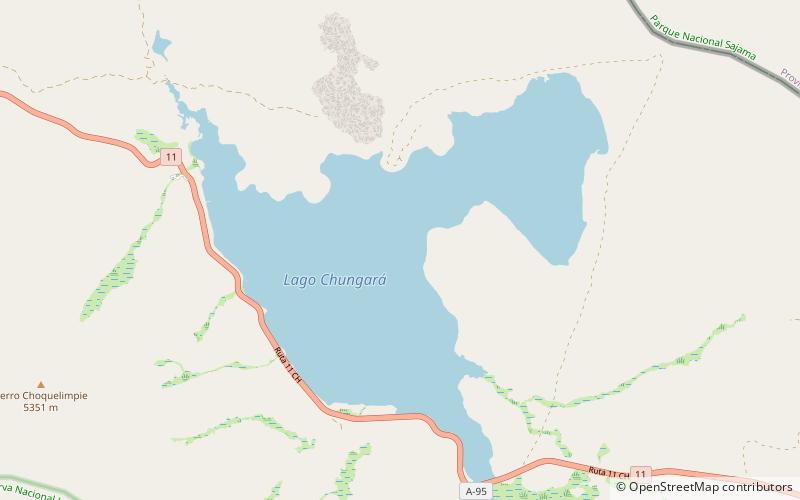
Map
Gallery
Facts and practical information
Chungará is a lake situated in the extreme north of Chile at an elevation of 4,517 metres, in the Altiplano of Arica y Parinacota Region in the Lauca National Park. It has a surface area of about 21.5–22.5 square kilometres and has a maximum depth of about 26–40 metres. It receives inflow through the Río Chungara with some minor additional inflows, and loses most of its water to evaporation; seepage into the Laguna Quta Qutani plays a minor role. ()
Local name: Lago Chungará Area: 8.3 mi²Length: 5.44 miElevation: 14948 ft a.s.l.Coordinates: 18°14'38"S, 69°8'56"W
Address
Lauca
ContactAdd
Social media
Add
Day trips