Cabo de Hornos National Park
Map
Gallery
Facts and practical information
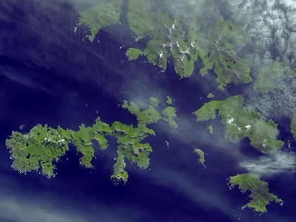
Cabo de Hornos National Park is a protected area in southern Chile that was designated a Biosphere Reserve by UNESCO in 2005, along with Alberto de Agostini National Park. The world's southernmost national park, it is located 12 hours by boat from Puerto Williams in the Cape Horn Archipelago, which belongs to the Commune of Cabo de Hornos in the Antártica Chilena Province of Magallanes y Antártica Chilena Region. ()
Local name: Parque nacional Cabo de Hornos Established: 26 April 1945 (80 years ago)Area: 243.63 mi²Visitors per year: 10.4 thous.Elevation: 0 ft a.s.l.Coordinates: 55°45'4"S, 67°28'39"W
Location
Magallanes
ContactAdd
Social media
Add
Best Ways to Experience the Park
Wildlife
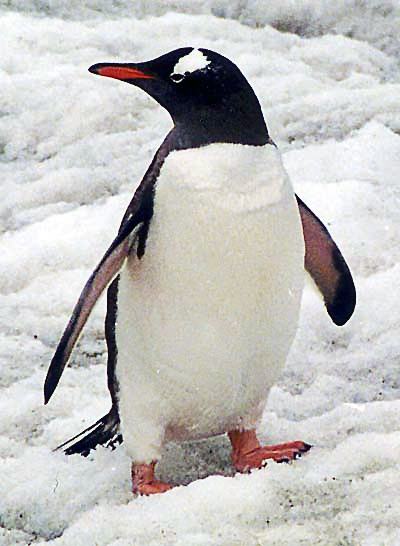
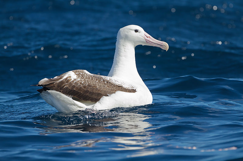
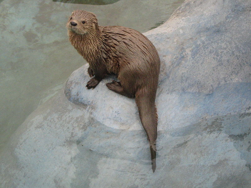
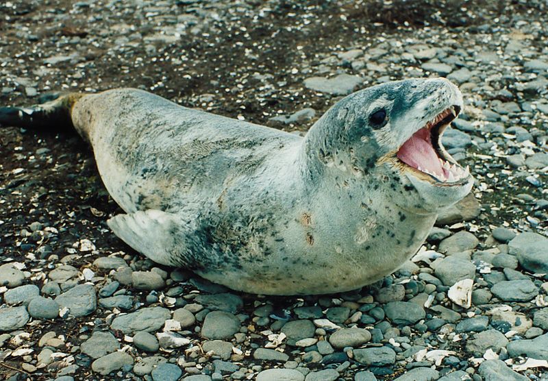
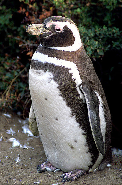
AnimalsSee what popular animal species you can meet in this location.
More
Show more
