Alameda, Santiago de Chile
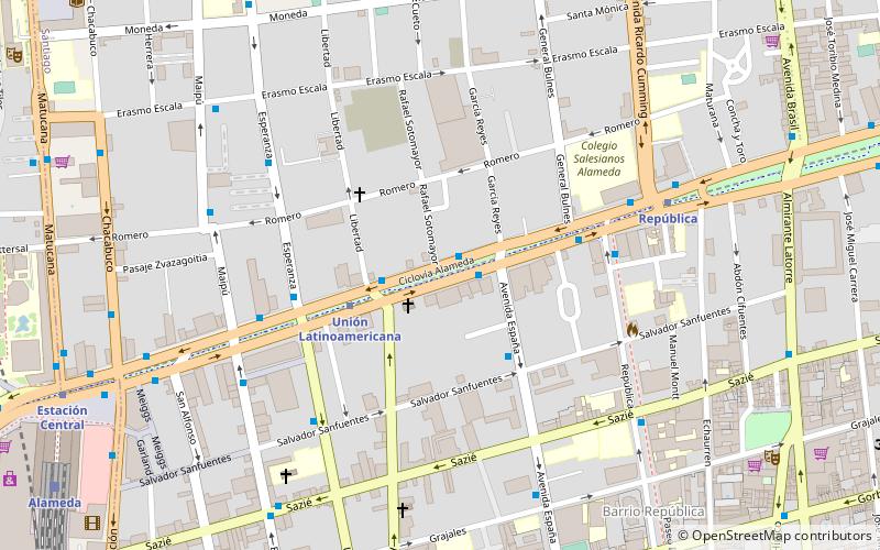
Map
Gallery
Facts and practical information
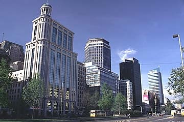
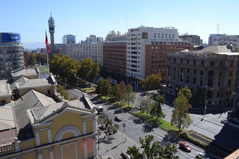
Avenida Libertador General Bernardo O'Higgins, popularly known as La Alameda, is the main avenue of Santiago, Chile. It runs east-west in the center of the greater urban area and is 7.77 km long, and it has up to 5 lanes in each direction. It was named after Chile's founding father Bernardo O'Higgins. It was originally a branch of the Mapocho River. ()
Local name: Avenida Libertador General Bernardo O'Higgins Elevation: 1768 ft a.s.l.Coordinates: 33°26'56"S, 70°40'18"W
Address
Santiago Centro (República)Santiago de Chile
ContactAdd
Social media
Add
Day trips
Alameda – popular in the area (distance from the attraction)
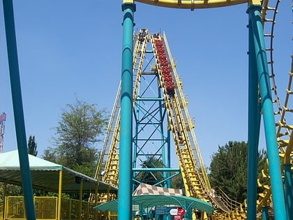
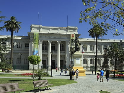
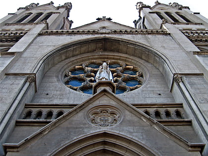
Nearby attractions include: Fantasilandia, Museo Nacional de Historia Natural, Basilica of Our Lady of Perpetual Help, Museo de la Memoria y los Derechos Humanos.
Frequently Asked Questions (FAQ)
Which popular attractions are close to Alameda?
Nearby attractions include Universidad Andrés Bello, Santiago de Chile (7 min walk), Barrio Concha y Toro, Santiago de Chile (11 min walk), Museo de la Solidaridad Salvador Allende, Santiago de Chile (12 min walk), Biblioteca de Santiago, Santiago de Chile (13 min walk).
How to get to Alameda by public transport?
The nearest stations to Alameda:
Metro
Train
Bus
Metro
- Unión Latinoamericana • Lines: 1 (3 min walk)
- República • Lines: 1 (7 min walk)
Train
- Alameda (13 min walk)
Bus
- Bus Terminal San Borja (16 min walk)
- Terminal Los Heroes (18 min walk)
