Cerro Renca, Santiago de Chile
Map
Map

Facts and practical information
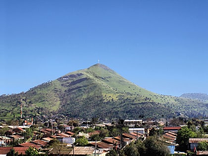
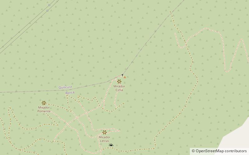
Cerro Renca is a hill straddling the border between Quilicura to the north and Renca to the south, in the city of Santiago, Chile. This geographic feature rises 300 metres above the surrounding terrain. The hill, which is 905 m above sea level at its highest point, has two subsidiaries summits known as Cerro Colorado and Puntilla Lo Ruiz. ()
Address
Santiago Norte (Renca)Santiago de Chile
ContactAdd
Social media
Add
Day trips
Cerro Renca – popular in the area (distance from the attraction)
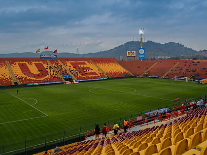
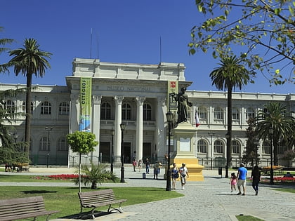
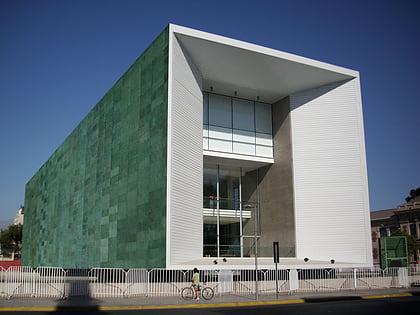
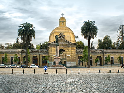
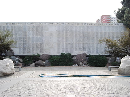
Nearby attractions include: Estadio Santa Laura, Museo Nacional de Historia Natural, Museo de la Memoria y los Derechos Humanos, Santiago General Cemetery.
Frequently Asked Questions (FAQ)
How to get to Cerro Renca by public transport?
The nearest stations to Cerro Renca:
Bus
Bus
- José María Caro / Presidente Eduardo Frei Montalva • Lines: B07 (37 min walk)
