Parque Forestal, Santiago de Chile
Map
Map

Facts and practical information
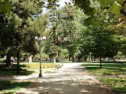
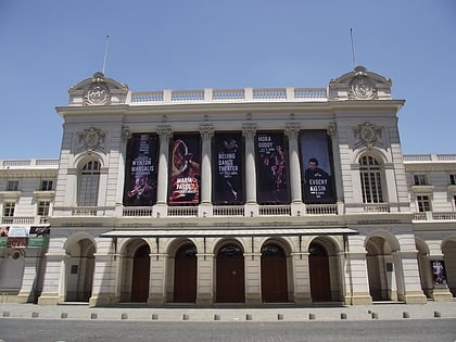
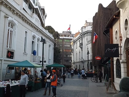
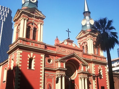
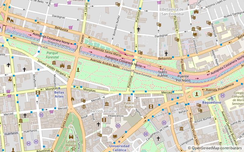
Parque Forestal is an urban park in the city of Santiago, Chile. The park was created on reclaimed land from the Mapocho River and is located in the historical downtown of Santiago, west of Plaza Baquedano and east of Estación Mapocho. It is bordered on the north by Santa María Avenue, on the south by Merced Street and Ismael Valdés Vergara Street. At its eastern end, the park becomes Balmaceda Park, forming an almost unbroken stretch of greenery along the Mapocho River. ()
Day trips
Parque Forestal – popular in the area (distance from the attraction)
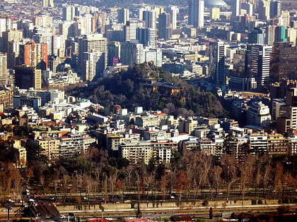
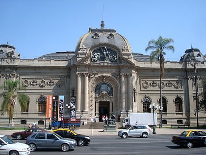
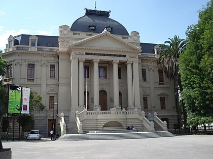
Nearby attractions include: Cerro Santa Lucia, Museo Nacional de Bellas Artes, Chilean National Zoo, La Chascona.
Frequently Asked Questions (FAQ)
Which popular attractions are close to Parque Forestal?
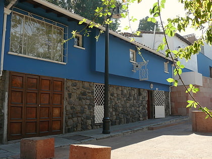
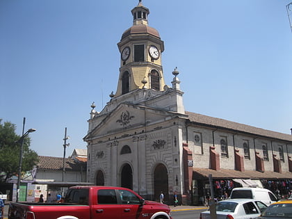
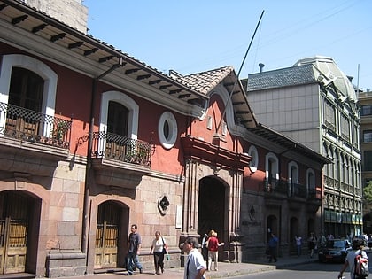
Nearby attractions include Plaza Mulato Gil de Castro, Santiago de Chile (4 min walk), Museo de Artes Visuales, Santiago de Chile (4 min walk), Barrio Lastarria, Santiago de Chile (5 min walk), Museo Arqueológico de Santiago, Santiago de Chile (5 min walk).
How to get to Parque Forestal by public transport?
The nearest stations to Parque Forestal:
Bus
Metro
Train
Bus
- Parada 1 / Parque Forestal • Lines: 517 (3 min walk)
- Bombero Nunez / Avenida Bellavista • Lines: 409 (3 min walk)
Metro
- Bellas Artes • Lines: 5 (7 min walk)
- Universidad Católica • Lines: 1 (7 min walk)
Train
- Estación Zoológico Nacional (15 min walk)
- Estación Cumbre (19 min walk)
