Kawésqar National Park Travel Guide
Facts and practical information
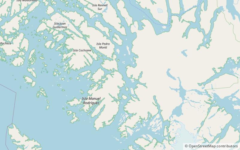
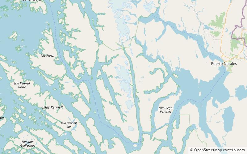
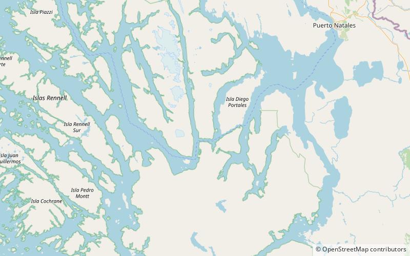
Located in the Magallanes region of Chile, Kawésqar National Park is a stunning destination for nature lovers and outdoor enthusiasts. This remote and unspoiled park is known for its rugged landscapes, including fjords, glaciers, and snow-capped mountains, as well as its diverse wildlife and pristine waterways.
One of the highlights of Kawésqar National Park is the opportunity to explore its network of fjords and channels by boat. Visitors can take a guided boat tour to navigate through the park's intricate waterways, passing by towering cliffs, lush forests, and cascading waterfalls. This unique experience allows for up-close encounters with the park's natural beauty and provides a glimpse into its remote and untouched wilderness.
For those seeking adventure, Kawésqar National Park offers a range of outdoor activities, including hiking, trekking, and camping. The park is home to a network of scenic trails that wind through its diverse landscapes, offering breathtaking views of the surrounding mountains, glaciers, and coastline. Hikers can also spot a variety of wildlife along the way, such as guanacos, foxes, and a wide array of bird species.
In addition to its natural wonders, Kawésqar National Park is also a place of cultural significance. The park is named after the indigenous Kawésqar people, who have inhabited the region for thousands of years. Visitors can learn about the history and traditions of the Kawésqar through guided tours and cultural experiences, gaining a deeper understanding of the rich heritage of the area.
Magallanes
Kawésqar National Park Attractions - What to See and Explore
Kawésqar National Park offers many attractions and places to visit. Here are the most important ones: Cordillera Sarmiento, Cordillera Riesco, Santa Inés Island. Below you will find a complete list of places worth visiting.

Best Time To Visit Kawésqar National Park
Learn when is the best time to travel to Kawésqar National Park weather-wise and what to expect in each season.