Nahuelbuta National Park
Map
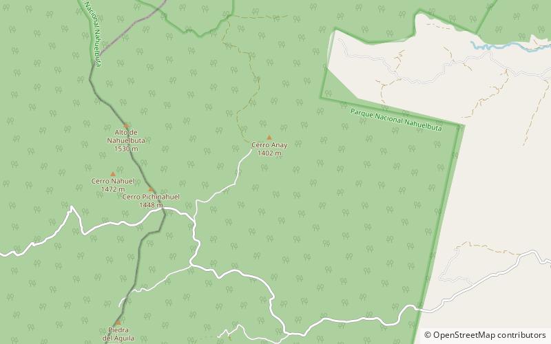
Map

Facts and practical information
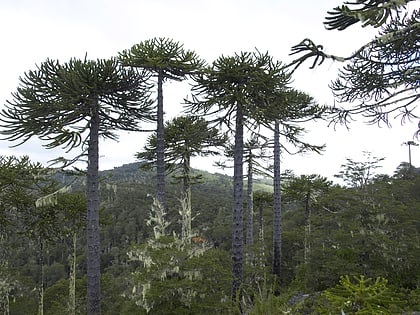
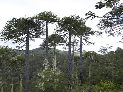
Nahuelbuta National Park is one of the few parks located in La Araucanía Region of Chile's Coastal Mountain Range. It sits atop the highest part of the Cordillera de Nahuelbuta. Created in 1939, it consists of 6,832 hectares situated just 162 km northeast of Temuco. Nahuelbuta is a sanctuary for monkey puzzle trees, with specimens dating back 2,000 years. ()
Local name: Parque nacional Nahuelbuta Established: 1939 (87 years ago)Elevation: 4065 ft a.s.l.Coordinates: 37°47'46"S, 72°59'47"W
Location
Araucanía
ContactAdd
Social media
Add
Best Ways to Experience the Park
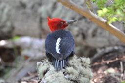
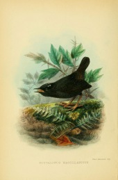
Wildlife
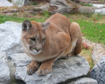
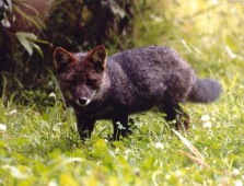
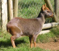
AnimalsSee what popular animal species you can meet in this location.
More
Show more
Day trips
Nahuelbuta National Park – popular in the area (distance from the attraction)
Nearby attractions include: Cordillera de Nahuelbuta.
