Wellington Island, Bernardo O'Higgins National Park
Map

Map

Facts and practical information
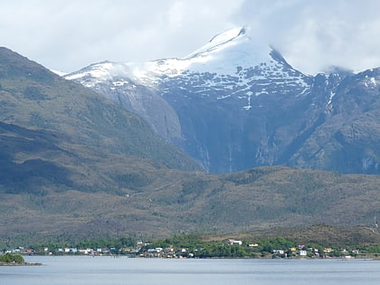
Wellington Island is an island west of Southern Patagonian Ice Field, Chile. It has an area of 5,556 km2 and most of the island forms part of Bernardo O'Higgins National Park. It is home to the last Kawésqar people, living in the village of Puerto Edén, the only inhabited place on the island. ()
Local name: Isla Wellington Area: 2145.18 mi²Maximum elevation: 4800 ftCoordinates: 49°23'8"S, 74°46'59"W
Address
Bernardo O'Higgins National Park
ContactAdd
Social media
Add
