Cerro El Muerto

Gallery (1)
Map
Map
Facts and practical information
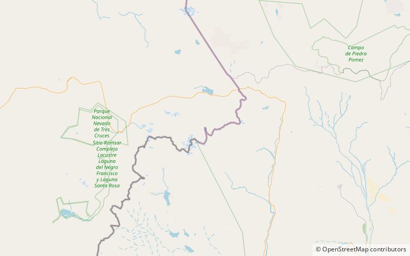
Cerro el Muerto (sometimes El Muerto fully translated as The Dead One ") is a range or area at the border of Argentina and Chile. It has a height of 6,510 metres (21,358 ft). It's located at Atacama Region, Copiapó Province, at the Puna de Atacama. It only receives a handful of climbing attempts every year and most are from the Chilean side. ()
Local name: Volcán El Muerto First ascent: 1950Elevation: 21358 ftProminence: 6877 ftCoordinates: 27°3'30"S, 68°29'3"W
Location
Atacama
ContactAdd
Social media
Add
Day trips
Cerro El Muerto – popular in the area (distance from the attraction)
Nearby attractions include: Ojos del Salado.
