Pirihueico Lake
Map

Map

Facts and practical information
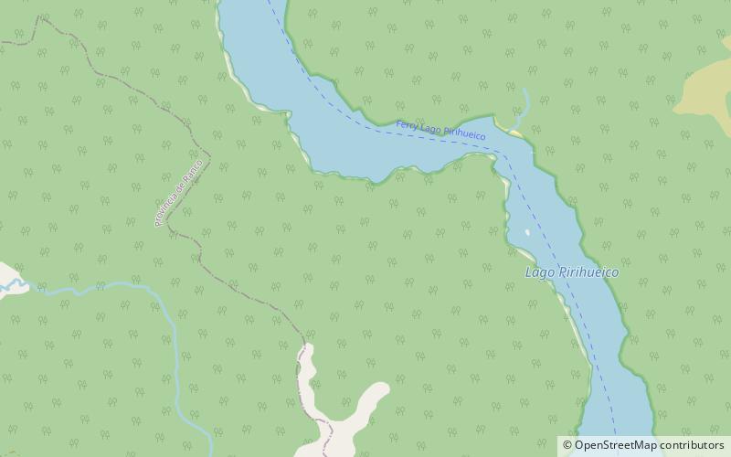
Pirihueico Lake is one of Seven Lakes in Panguipulli Commune, southern Chile. The lake is of glacial origin and it is enclosed mountains of the Andes. It is located in a geological fault that includes Panguipulli Lake and Lácar Lake in Argentina. The lake is drained by Fui River. Pirihueico Lake is used as a waterway due to its elonged shape. It is used mostly by vehicles traveling to or from Argentina by the nearby Huahum Pass. For that reason there is a ferry operating between Puerto Fuy and Puerto Pirihueico in the western respectively eastern extreme of the lake. ()
Local name: Lago Pirihueico Area: 11.76 mi²Elevation: 3589 ft a.s.l.Coordinates: 39°56'32"S, 71°47'16"W
Location
Los Ríos
ContactAdd
Social media
Add
Day trips
Pirihueico Lake – popular in the area (distance from the attraction)
Nearby attractions include: Puerto Fuy.

