Cerro Pachón

Gallery (1)
Map
Map
Facts and practical information
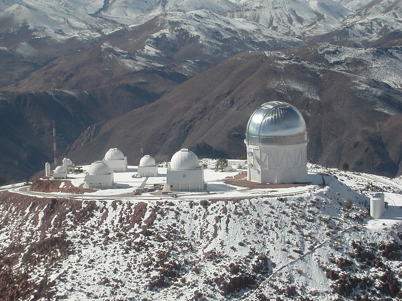
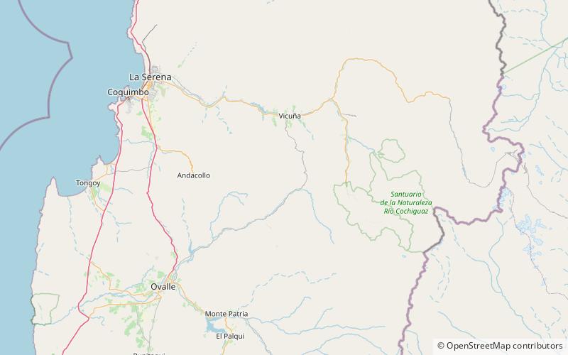
Cerro Pachón is a mountain located close to the Chilean city of Vicuña and 10 km southeast of the Cerro Tololo Inter-American Observatory, at an altitude of 2,715 m over the sea level in the foothills of the Andes. The location is exceedingly dry, making it suitable for infrared observations. The air overhead is very stable, yielding excellent visualization/seeing. During the summer months, Cerro Pachón is often above the haze layer that can envelop lower altitudes. ()
Location
Coquimbo
ContactAdd
Social media
Add
Day trips
Cerro Pachón – popular in the area (distance from the attraction)
Nearby attractions include: Cerro Tololo Inter-American Observatory, Vera C. Rubin Observatory, SOAR.