Riñihue Lake
Map

Map

Facts and practical information
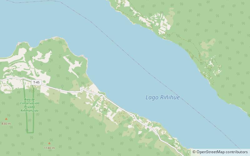
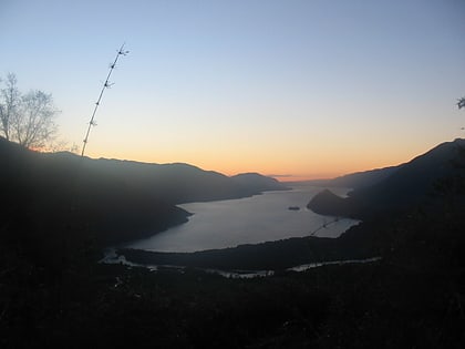
The Riñihue Lake is a lake of glacial origin in eastern Valdivia Province, southern Chile. It is surrounded by several mountains. The eastern side receives the waters of the Panguipulli Lake by the Enco River, its main contributor. It is the last of the Seven Lakes chain. In the west it is cut into two arms by the Tralcán Mount, and on the east side lies the Mocho-Choshuenco volcano. In the south the lake is bounded by the Cerros de Quimán mountains. ()
Local name: Lago Riñihue Area: 29.92 mi²Length: 17.79 miWidth: 3.27 miMaximum depth: 1060 ftElevation: 351 ft a.s.l.Coordinates: 39°50'18"S, 72°19'1"W
Location
Los Ríos
ContactAdd
Social media
Add
Day trips
Riñihue Lake – popular in the area (distance from the attraction)
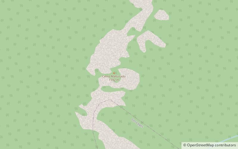
Nearby attractions include: Nevado Las Agujas, Cerro Maltusado.

