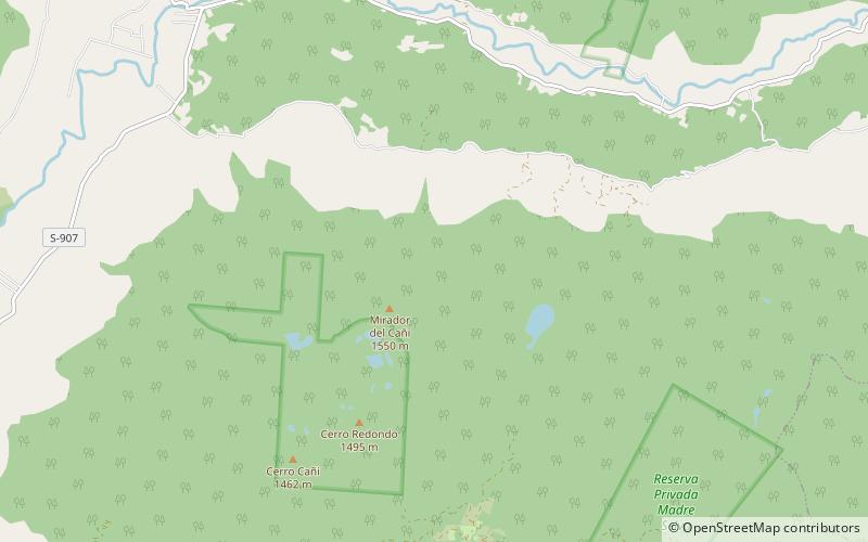
Caburgua-Huelemolle
Map

Map

Facts and practical information
Caburgua-Huelemolle consists of four groups of cinder cones, namely they are Volcanes de Caburgua, Volcán Huelemolle, Volcán Redondo and Pichares. Volcanes de Caburgua is a group formed by six pyroclastic cones located at the southern tip of the Caburgua Lake, which is a lava-dammed lake created by volcanic activity from the just mentioned cones. Volcán Huelemolle is a group of three cinder cones lying between the rivers Liucura and Trancura. ()
Local name: Complejo volcánico Caburgua-Huelemolle Elevation: 4908 ftCoordinates: 39°15'0"S, 71°41'60"W
Location
Araucanía
ContactAdd
Social media
Add
