Yi Tung Shan, Hong Kong

Gallery (1)
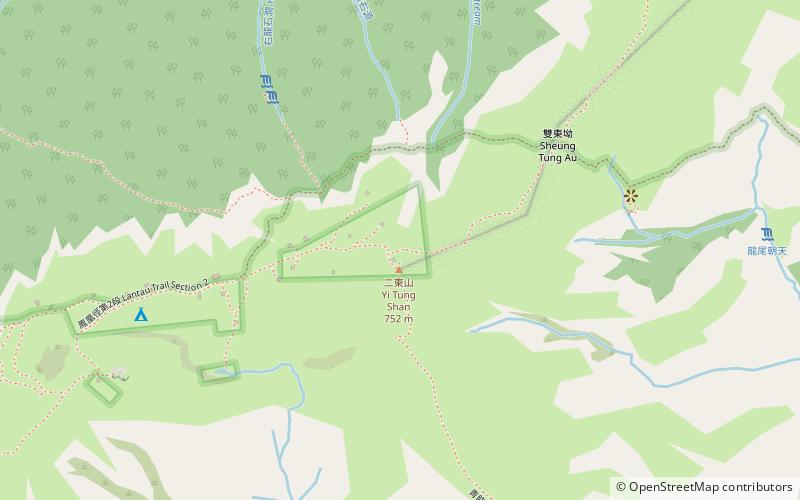
Map
Map
Facts and practical information
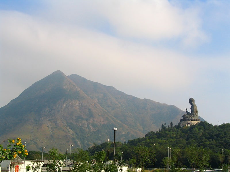
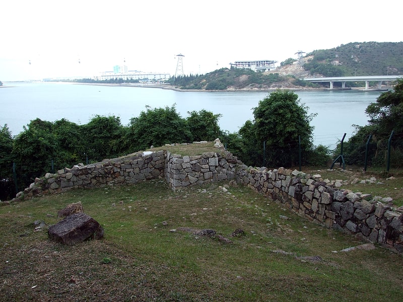
Yi Tung Shan is the ninth highest mountain in Hong Kong. It is situated east of Sunset Peak on Lantau Island, and is 747 m in height. Stage 2 of The Lantau Trail runs along the north side of its peak. ()
Address
离岛区 (li dao qu)Hong Kong
ContactAdd
Social media
Add
Getting there by public transportation
Public transportation stops near this location
- Bus
 Bus
Bus
- Calculate routeNgau Au Yuen 32 min walk
- Calculate routeLo Uk Tsuen 34 min walk
- Calculate routePui O Petrol Station 35 min walk
Maps MTRMaps
 LTRMaps
 Tram
Tram
MTRMapsLTRMapsTramDay trips


Frequently Asked Questions (FAQ)
How to get to Yi Tung Shan by public transport?
The nearest stations to Yi Tung Shan:
Bus
Bus
- Ngau Au Yuen • Lines: 1, 2, 3M, 4, A35, N1, N35 (32 min walk)
- Lo Uk Tsuen • Lines: 1, 2, 3M, 4, A35, N1, N35 (34 min walk)