Sunset Peak, Hong Kong
Map
Map

Facts and practical information
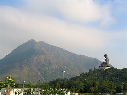
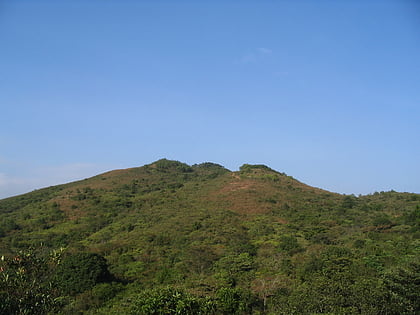
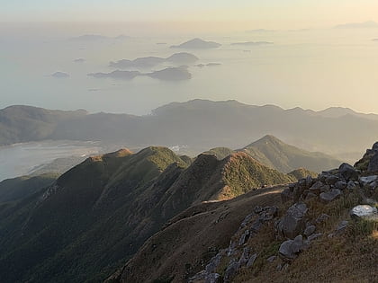
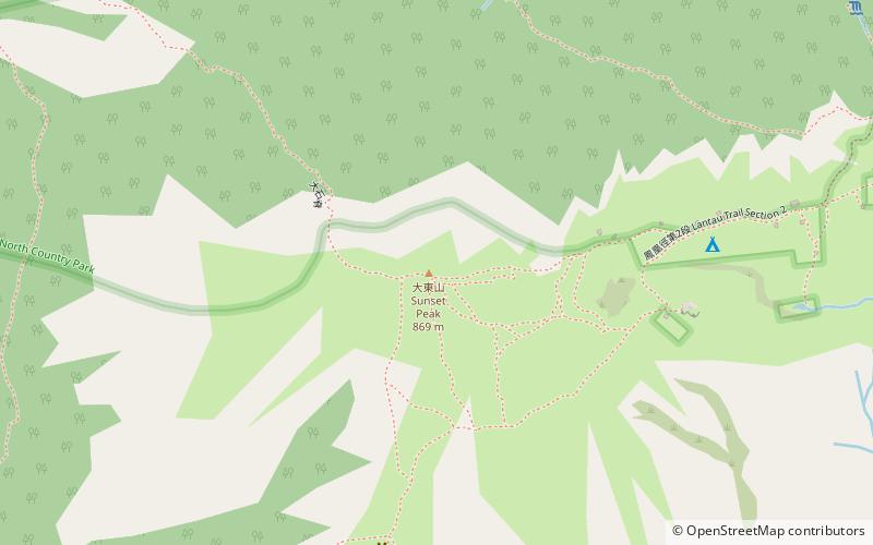
Sunset Peak or Tai Tung Shan is the third-highest peak in Hong Kong. It is situated on Lantau Island within Lantau South Country Park and Lantau North Country Park and stands at a height of 869 metres above sea level. The second-highest Lantau Peak is located to the west of Sunset Peak. ()
Address
离岛区 (li dao qu)Hong Kong
ContactAdd
Social media
Add
Day trips
Sunset Peak – popular in the area (distance from the attraction)
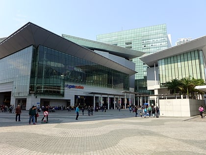
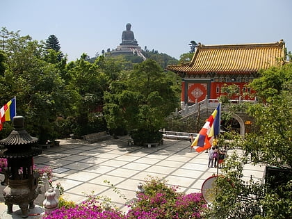
Nearby attractions include: Citygate Outlets, Po Lin Monastery, Lantau Trail, Lantau Peak.
Frequently Asked Questions (FAQ)
Which popular attractions are close to Sunset Peak?
Nearby attractions include Hong Kong/Lantau, Hong Kong (14 min walk), Yi Tung Shan, Hong Kong (19 min walk).
How to get to Sunset Peak by public transport?
The nearest stations to Sunset Peak:
Bus
Bus
- Pak Kung Au • Lines: 11, 11A, 23, 3M, A35, N35 (23 min walk)
- Tung Chung Au • Lines: 11, 11A, 23, 3M, A35, N35 (28 min walk)
 MTR
MTR LTR
LTR Tram
Tram