Buffalo Hill, Hong Kong
Map
Map

Facts and practical information
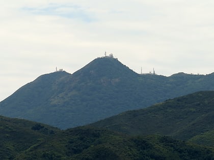
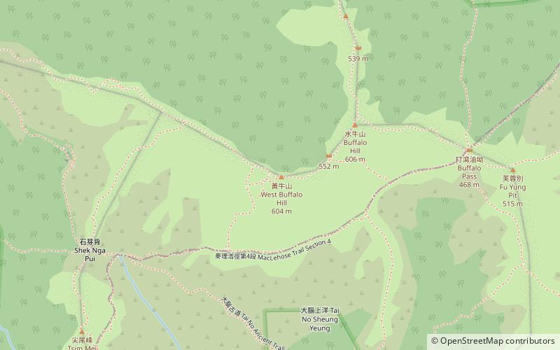
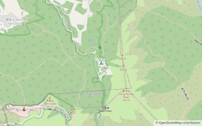
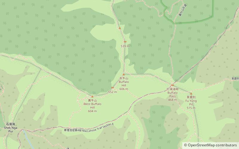
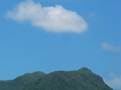
Buffalo Hill is a hill located in Ma On Shan Country Park west of Sai Kung, in the eastern half of Hong Kong. It is particularly well known for its peak resembling the head of a Buffalo when viewed from Sha Tin. MacLehose Trail passes within 225 metres from the peak of the hill, while smaller trails cut off the main MacLehose trail up to the peak of Buffalo Hill. It is the sixteenth tallest peak in Hong Kong, with an altitude of 606 metres, bordering Sha Tin and Sai Kung. ()
Address
沙田区 (sha tian qu)Hong Kong
ContactAdd
Social media
Add
Day trips
Buffalo Hill – popular in the area (distance from the attraction)
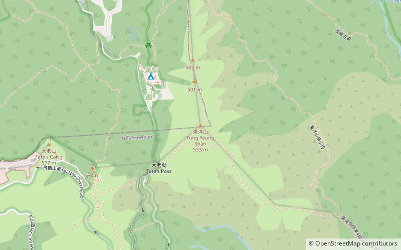
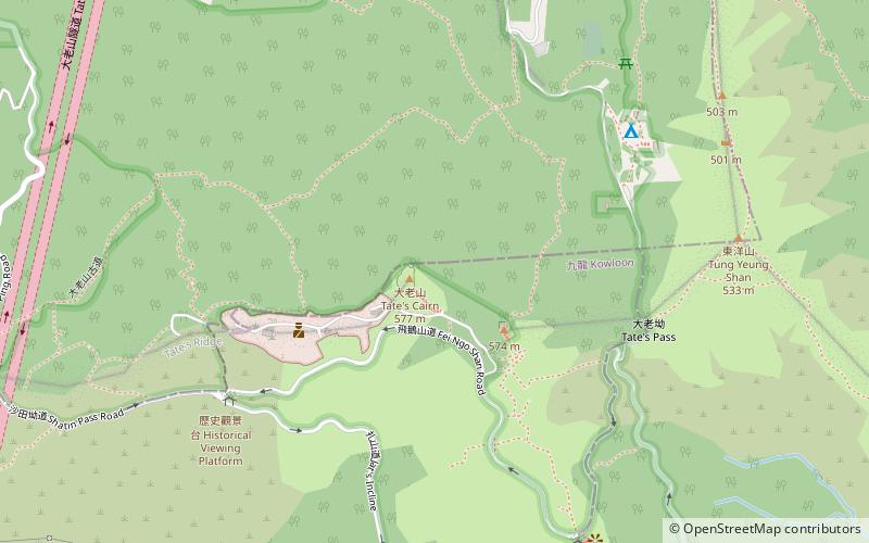
Nearby attractions include: Tung Yeung Shan, Tate's Cairn, Turret Hill, Cheung Shan.
Frequently Asked Questions (FAQ)
How to get to Buffalo Hill by public transport?
The nearest stations to Buffalo Hill:
Bus
Bus
- Kai Ham • Lines: 2 (30 min walk)
- Wong Nai Tau (30 min walk)
 MTR
MTR LTR
LTR Tram
Tram