Gilwell Campsite, Hong Kong
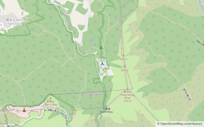
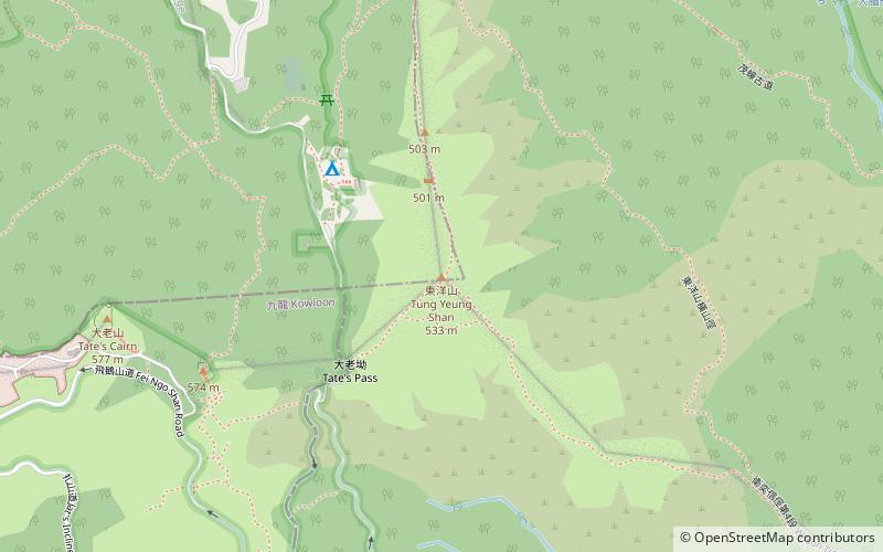
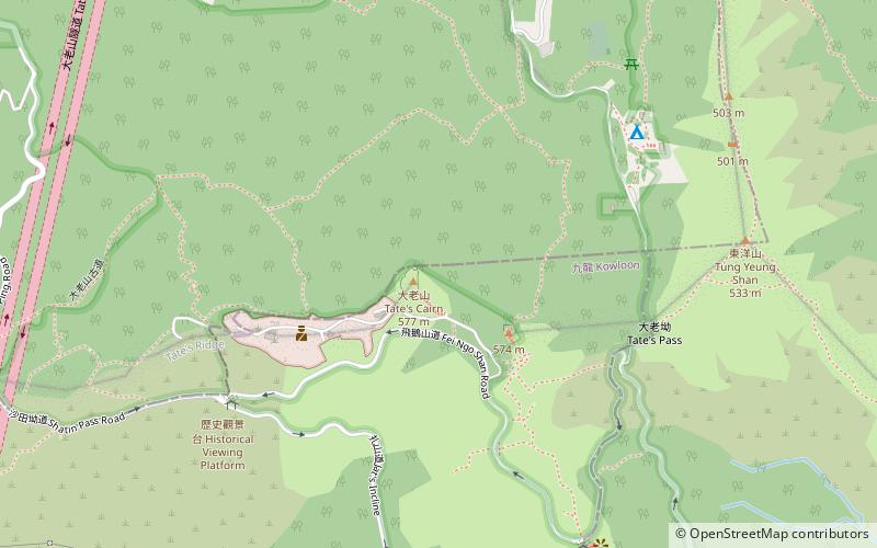
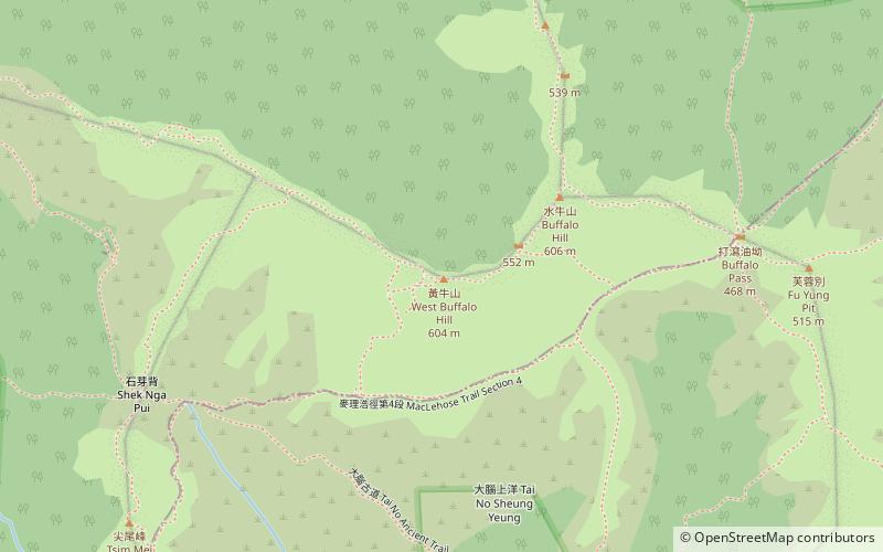
Map
Facts and practical information
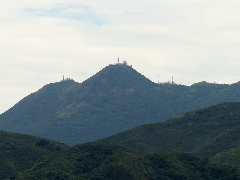
Gilwell Campsite a major campsite run by the Scout Association of Hong Kong for wild camping and other scouting activities on Kowloon Peak of New Kowloon, Hong Kong. The campsite is near MacLehose Trail with road access through an unnamed road that joins with Fei Ngo Shan Road. Its altitude is 430m above sea level. A few minutes walk from the site, campers can see stunning views over Kowloon, the Victoria Harbour and Hong Kong Island. The campsite is managed by Kowloon Region. The campsite is located within the boundaries of Sha Tin District, very close to its borders with Wong Tai Sin District and Sai Kung District. ()
Getting there by public transportation
Public transportation stops near this location
- Bus
 Bus
Bus
- Calculate routeKai Ham 24 min walk
- Calculate routeTate's Cairn Tunnel Toll Plaza 34 min walk
- Calculate routeFu Shan 38 min walk
Maps MTRMaps
 LTRMaps
 Tram
Tram
MTRMapsLTRMapsTramDay trips
Gilwell Campsite – popular in the area (distance from the attraction)
Nearby attractions include: Tung Yeung Shan, Tate's Cairn, Shui Chuen O, Buffalo Hill.


Frequently Asked Questions (FAQ)
Which popular attractions are close to Gilwell Campsite?
Nearby attractions include Tung Yeung Shan, Hong Kong (5 min walk), Cheung Shan, Hong Kong (8 min walk), Tate's Cairn, Hong Kong (9 min walk), Tung Shan Mountain, Hong Kong (15 min walk).
How to get to Gilwell Campsite by public transport?
The nearest stations to Gilwell Campsite:
Bus
Bus
- Kai Ham • Lines: 2 (24 min walk)
- Tate's Cairn Tunnel Toll Plaza • Lines: 307, 686, 82X, T74 (34 min walk)