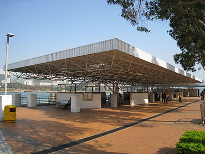
Tsing Yi Peak, Hong Kong
Map
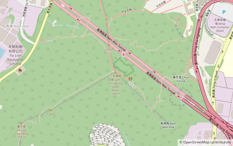
Map

Facts and practical information
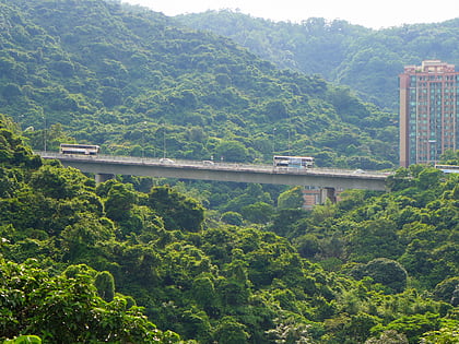
Tsing Yi Peak or Sam Chi Heung is a hill with three peaks occupying the southern half of the Tsing Yi Island, Hong Kong. The hill is situated on the western half of Victoria Harbour. Its peaks are good locations to observe the harbour and the channels among harbour islands. While situated in the south, a short hill Liu To Shan occupies the northwest of the island. ()
Day trips
Tsing Yi Peak – popular in the area (distance from the attraction)
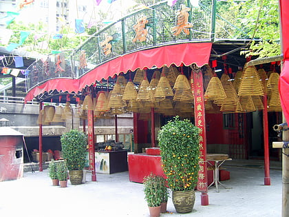
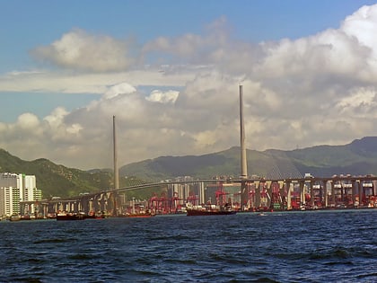
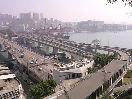
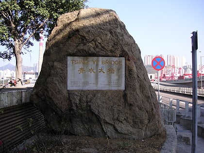
Nearby attractions include: Chun Kwan Temple, Stonecutters Bridge, Cheung Tsing Bridge, Tsing Yi Bridge.
Frequently Asked Questions (FAQ)
Which popular attractions are close to Tsing Yi Peak?
Nearby attractions include Nam Wan Tunnel, Hong Kong (3 min walk), Nam Wan Kok, Hong Kong (9 min walk), Technological and Higher Education Institute of Hong Kong, Hong Kong (13 min walk), Sai Shan, Hong Kong (14 min walk).
How to get to Tsing Yi Peak by public transport?
The nearest stations to Tsing Yi Peak:
Bus
Bus
- Mayfair Garden (15 min walk)
- Mayfair Gardens • Lines: 249M, A32, E32, Na32 (18 min walk)
 MTR
MTR LTR
LTR Tram
Tram