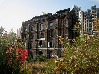
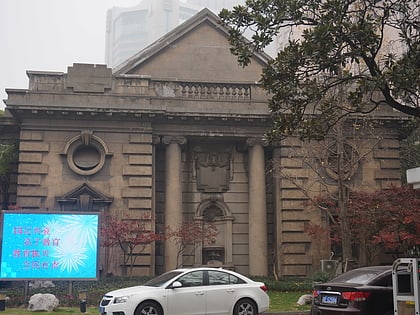
Huxi Mosque, Shanghai
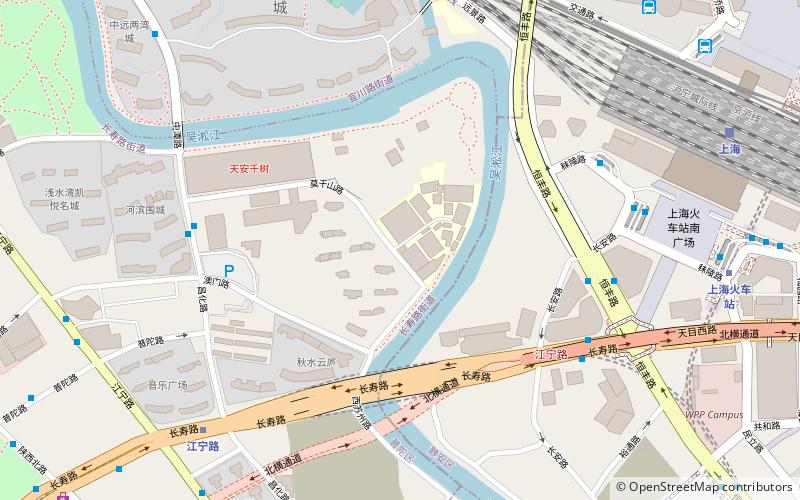
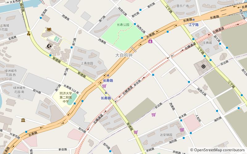
Map
Map

Facts and practical information
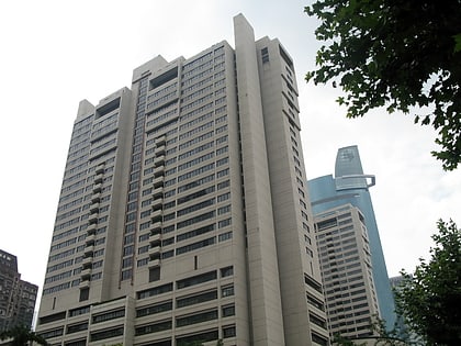
The Huxi Mosque is a mosque in Putuo District, Shanghai, China. ()
Alternative names: Completed: 1922 (104 years ago)Minaret height: 82 ftCoordinates: 31°14'34"N, 121°26'6"E
Address
普陀 (武宁)Shanghai
ContactAdd
Social media
Add
Day trips
Huxi Mosque – popular in the area (distance from the attraction)
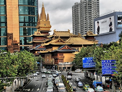
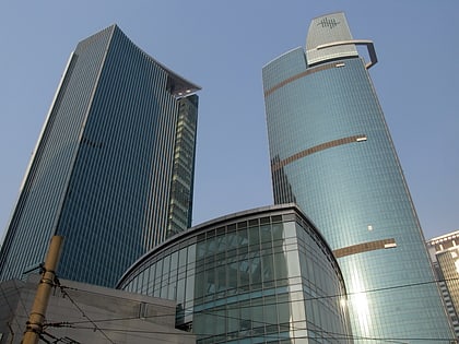
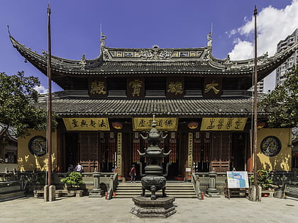
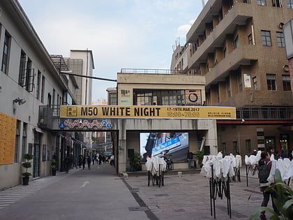
Nearby attractions include: Jing'an Temple, Plaza 66, Jade Buddha Temple, 50 Moganshan Road.
Frequently Asked Questions (FAQ)
Which popular attractions are close to Huxi Mosque?
Nearby attractions include Changshou Road Subdistrict, Shanghai (9 min walk), Jade Buddha Temple, Shanghai (10 min walk), Fuck Off, Shanghai (19 min walk), 50 Moganshan Road, Shanghai (23 min walk).
How to get to Huxi Mosque by public transport?
The nearest stations to Huxi Mosque:
Metro
Bus
Train
Metro
- Changshou Road • Lines: 13, 7 (3 min walk)
- Jiangning Road • Lines: 13 (10 min walk)
Bus
- 长寿路西康路 • Lines: 830 (5 min walk)
- 健康猫运动生活馆 (8 min walk)
Train
- Shanghai (29 min walk)

