Putuo District, Shanghai
Map
Map

Facts and practical information
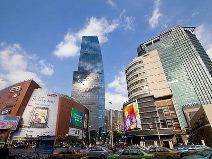
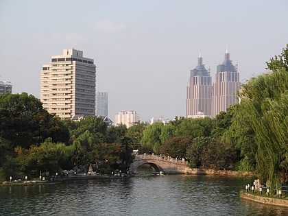
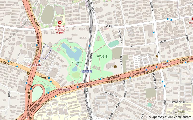
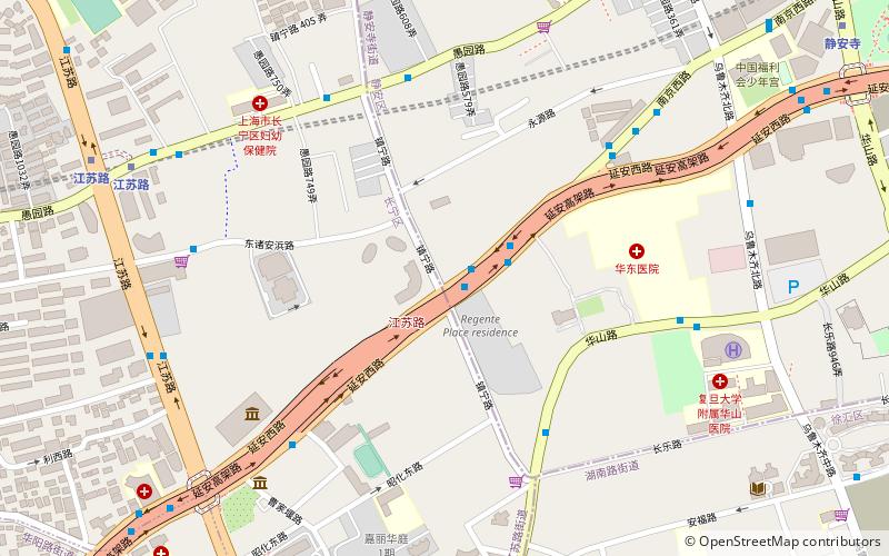
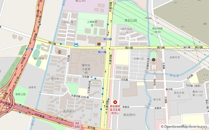
Putuo District, is a municipal district of Shanghai Municipality, People's Republic of China. It covers an area of 54.83 km2. Putuo District borders Baoshan District to the north, Jing'an District to the east and south east, Changning District to the south west and Jiading District to the west. ()
Address
普陀 (pu tuo)Shanghai
ContactAdd
Social media
Add
Day trips
Putuo District – popular in the area (distance from the attraction)
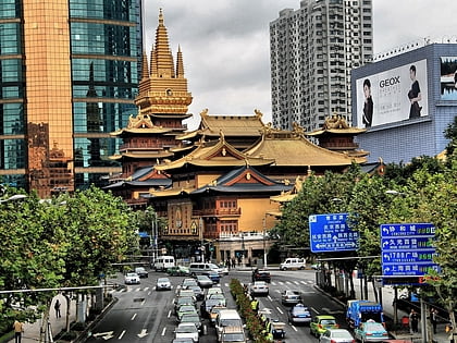
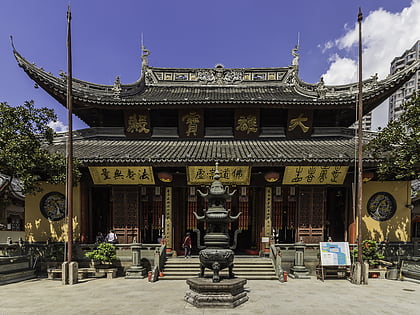
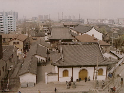
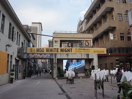
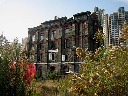
Nearby attractions include: Jing'an Temple, Jade Buddha Temple, Zhenru Temple, 50 Moganshan Road.
Frequently Asked Questions (FAQ)
How to get to Putuo District by public transport?
The nearest stations to Putuo District:
Metro
Bus
Train
Metro
- Tongchuan Road • Lines: 14, 15 (3 min walk)
- Zhenru • Lines: 11, 14 (16 min walk)
Bus
- 大渡河路北石路 • Lines: 944 (5 min walk)
- 真如西村 • Lines: 62, 陆安线 (10 min walk)
Train
- 上海西 (25 min walk)

